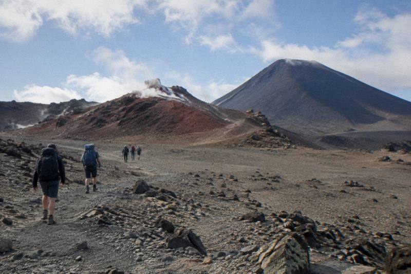
Red Crater Tongariro Hike: The Climb Above The Emerald Lakes
Red Crater, at 1886 m the highest point of the Tongariro Alpine Crossing, is where the day turns alpine: a steep climb past the South Crater, a narrow ridgeline, and a scree descent that drops you onto the Emerald Lakes below.
Short answer
Red Crater sits at 1886 m, the highest point of the 20.2 km Tongariro Alpine Crossing. DOC rates the track High fitness, 7 to 8 hours November to April and 9 hours May to October, when it becomes an Expert route. Guided crossings from NZ$450 and shuttles from NZ$68 cover the logistics.
Red Crater is the moment the Tongariro Alpine Crossing stops being a long walk and becomes an alpine day. At 1886 m it is the highest point on the 20.2 km track, and DOC describes what follows it plainly: a steep scree descent to the vivid Nga Rotopounamu, the Emerald Lakes. Most people who research Red Crater are really planning the hardest hour of a crossing day, and weighing whether that hour is safer with a guide.
If the lakes themselves are the goal, start with the Emerald Lakes on the Tongariro Crossing overview; this page stays on the climb above them.
| Quick Fact | Figure |
|---|---|
| Red Crater summit height | 1886 m (DOC) |
| Track length | 20.2 km one way |
| Total elevation change | +/- 1196 m |
| Walking time, November to April | 7 to 8 hours (DOC) |
| Walking time, May to October | 9 hours (DOC) |
| Track grade | High fitness; Expert route May to October |
| Start of track | Mangatepopo, 1120 m |
| Finish of track | Ketetahi Road, about 760 m |
| Cultural request | Do not touch or enter any waterway, including the alpine lakes |
How High Is Red Crater And Where Does It Sit On The Crossing?
Red Crater is 1886 m high, and DOC names it the highest point of the Tongariro Alpine Crossing. The track climbs to it from the Mangatepopo start at 1120 m, crosses the South Crater flats, then tackles the final steep pinch to the crater rim before dropping down the far side toward the Emerald Lakes. Its position, roughly two thirds of the way along the 20.2 km route, makes it the natural high point of the day.
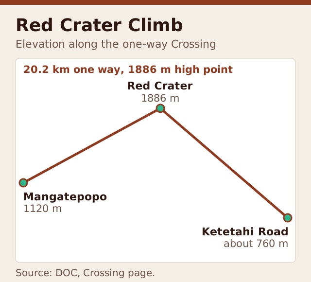
Every figure worth quoting on this page comes from DOC's own Tongariro Alpine Crossing page. The track runs 20.2 km one way with 1196 m of elevation change in each direction. It begins at Mangatepopo at 1120 m, tops out at Red Crater at 1886 m, and finishes at Ketetahi Road at about 760 m. That profile matters for pacing: the climb to Red Crater is not the start of the day, it is the middle of it, and legs are already warm by the time the ridge appears.
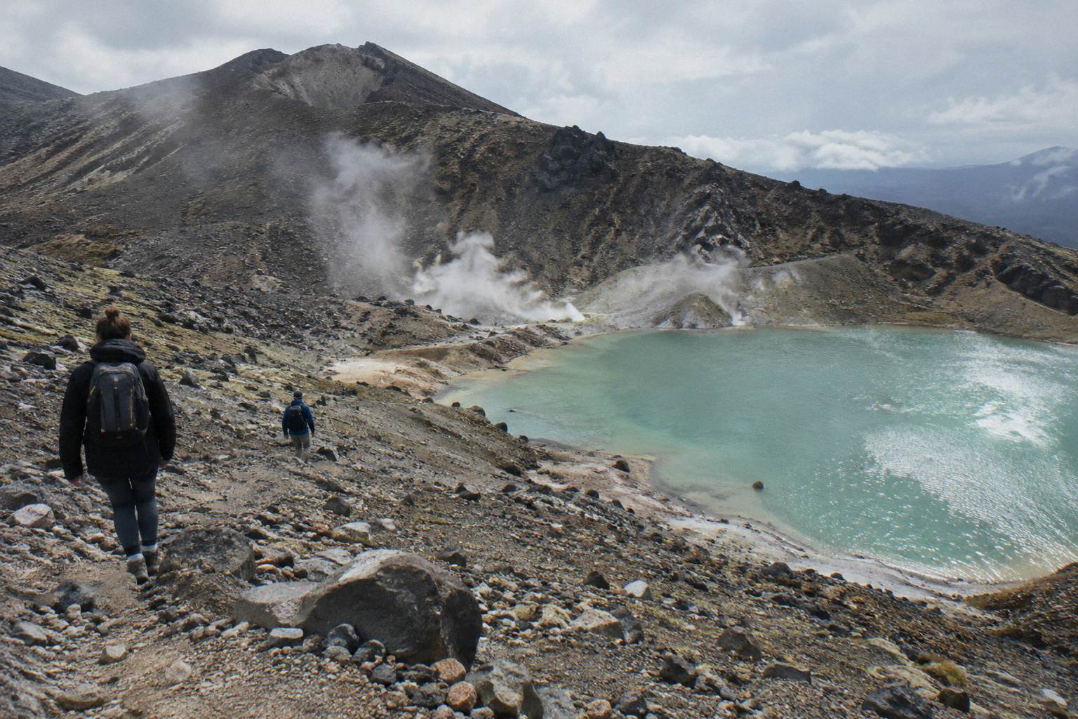
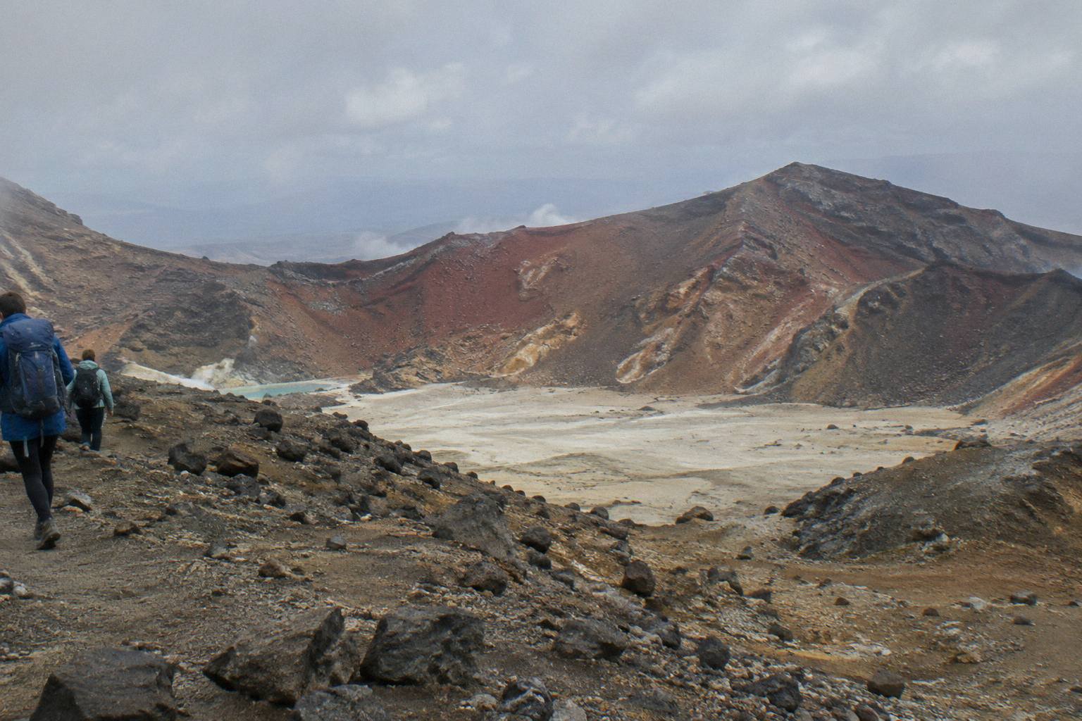
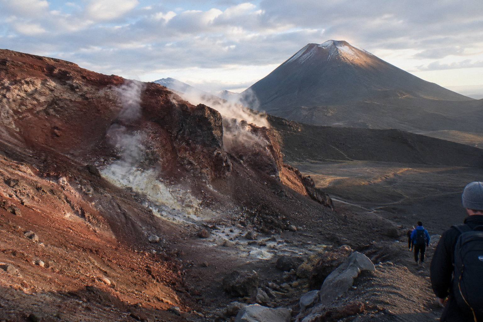
Red Crater itself is an old volcanic vent, its walls stained deep red and orange by oxidised iron. From the rim the view opens across the Central Crater, with Ngauruhoe standing close beside the track as scenery throughout the climb. Mount Doom is a popular nickname for that mountain, and the Mordor look of the upper slopes is real, but the peak is there to be looked at, not climbed on this itinerary. The Red Crater to Emerald Lakes descent picks up the story on the far side of the rim.
One request travels with the crater and everything below it. Kaumatua Te Ngaehe Wanikau asks visitors to respect the maunga tapu by not touching or entering any of the waterways, including the alpine lakes. The Emerald Lakes sit immediately under Red Crater, and the request applies to them. It is printed as a request, in DOC's wording, and it changes how you should picture the lakes: a view and a resting spot, not a swimming hole.
| Track section | What to expect |
|---|---|
| Mangatepopo to Soda Springs | Gentle valley track from the 1120 m start |
| The Devil's Staircase | Steep stepped climb out of the valley |
| South Crater flats | A short, exposed crossing before the main climb |
| Final climb to Red Crater | The steepest sustained pinch, up to 1886 m |
| Red Crater to Emerald Lakes | Steep scree descent, DOC's own description |
What Is The Climb To Red Crater Actually Like?
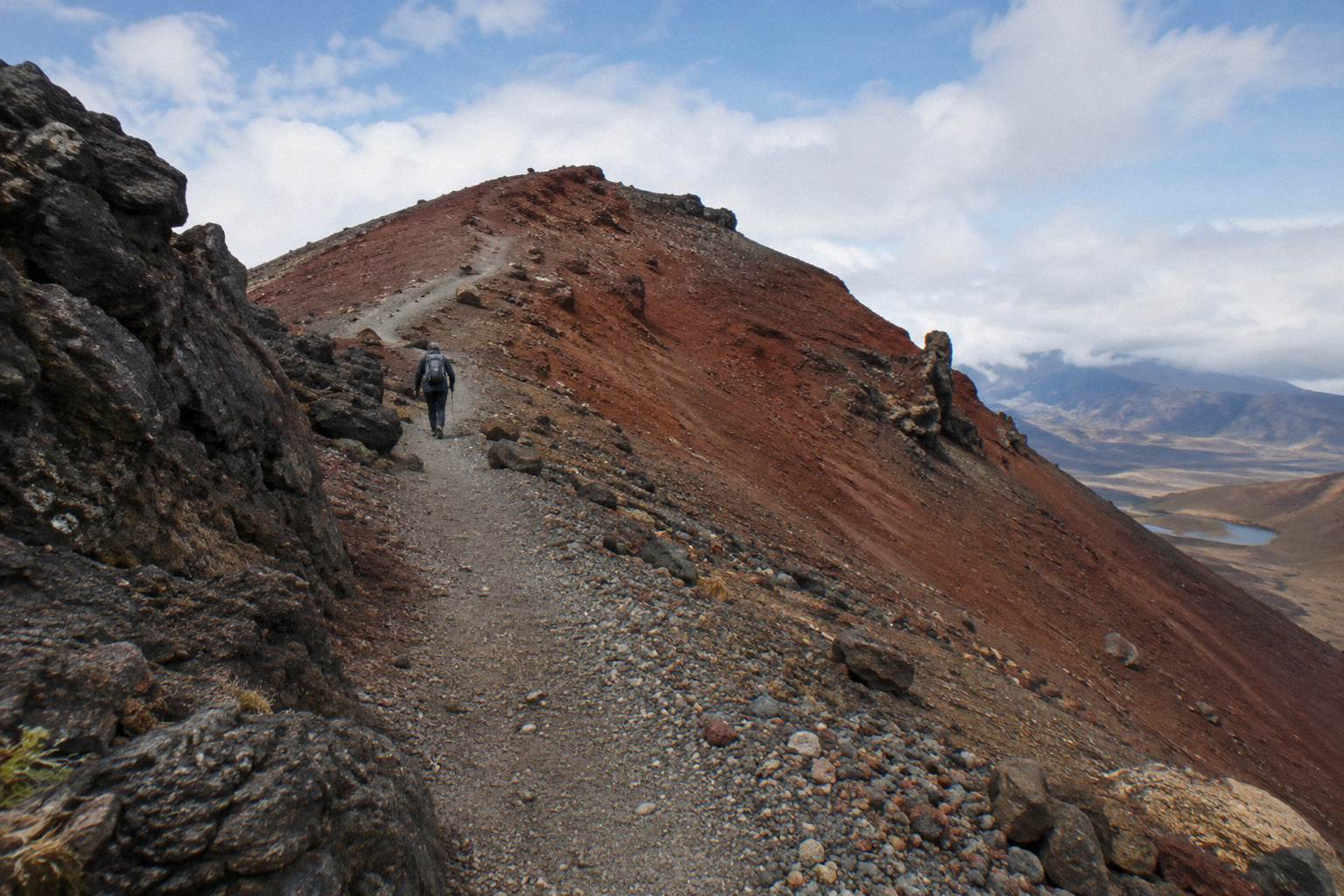
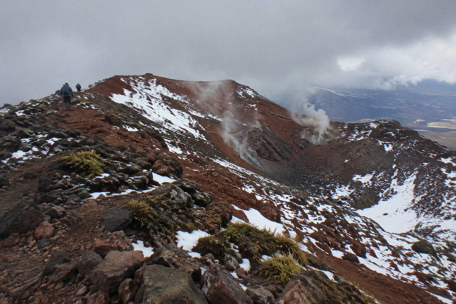
The climb to Red Crater is the steepest sustained section of the Crossing, a rocky pinch that gains the ridge above the South Crater and ends on a narrow rim with drops on both sides. DOC grades the whole track High fitness, and the crater section is a large part of the reason why. In good summer conditions it is a demanding but achievable climb; in May to October it is part of an Expert route.
The approach lulls you a little. After the Devil's Staircase the track flattens across the South Crater, a broad volcanic bowl that feels almost easy after the steps. Then the path turns right and climbs again, over loose rock and along a ridge where the track is narrow and the exposure is genuine. On a calm, clear day this is the most spectacular hour of the Crossing. When wind or cloud arrives, the same ridge is where days go wrong, which is why the question of a guide keeps coming up around Red Crater.
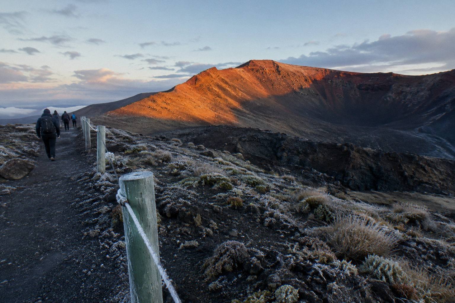
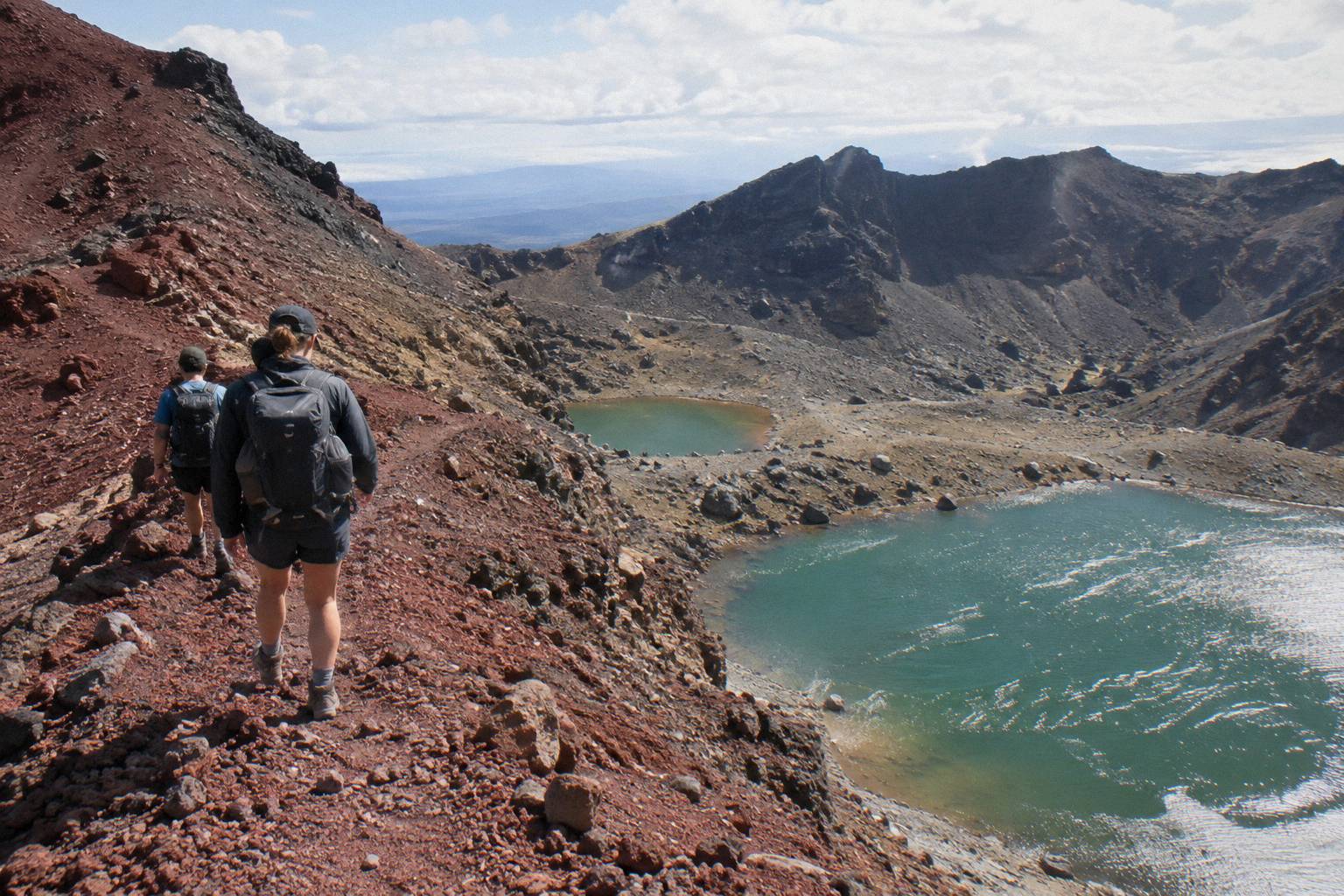
The descent deserves as much respect as the climb. DOC's own text calls it a steep scree descent to the vivid Emerald Lakes, and the loose surface means every step slides a little. Walking poles help, and so does going slowly: the lakes below tempt people into rushing, and the scree punishes it. Give the rim time too, because the view back over the South Crater and out to Ngauruhoe is the payoff for the whole climb.
Timing shapes the experience. An early start is the standard advice, both for the parking limits at the road ends and for the simple fact that afternoon weather in the mountains deteriorates more often than it improves. The sunrise start on the Crossing and the fitness preparation guide cover the two sides of that planning, and both matter most for the Red Crater hour.
For most readers the practical decision is not whether to climb Red Crater but how the day is organised around it. Two formats dominate: a guided crossing with a guide who handles the alpine judgement, or a self-guided crossing with a shuttle solving the one-way logistics. The three options below span that choice.
Do You Need A Guide For The Red Crater Section?
A guide is optional in summer and recommended by DOC outside it. DOC's own wording for the May to October period is that alpine skills are essential and it is best to go with a guide, and winter on Red Crater brings snow, ice and avalanche risk. In November to April, fit and prepared walkers cross unguided every fine day, with a shuttle handling transport.
The guided choice means Adrift Tongariro, which runs the three guided tours that cover Red Crater and the Emerald Lakes. The Adrift Tongariro premium guided hike, from NZ$450 per person, is a full Crossing guided group hike rated 4.6 across 242 reviews, departing National Park Village at 53 Carroll Street with pickups from Taupo, Turangi and Whakapapa available at a surcharge on private trips. Its booked day runs 8 to 9 hours, which is the total day length, not walking time, and it carries free cancellation up to 14 days before. Crampons and ice axes are supplied on the Adrift guided tours if winter conditions require them, and you bring your own lunch.
The same operator's Adrift Tongariro full-day guided Crossing runs the same route as a group walk, rated 4.7 across 278 reviews, a 9-hour booked day from the same National Park Village base. The booking page shows the cancellation terms, and this row is listed as non-refundable. For walkers who want the mountain to themselves, the Adrift Tongariro private guided Crossing is a guided private departure rated 4.5 across 30 reviews, also non-refundable, with a booked duration of 7 to 9 hours. The booking pages show the age limits for the premium and private tours.
What a guide adds at Red Crater specifically is judgement. The ridge concentrates weather: wind funnels across the South Crater, cloud can swallow the track markers, and the volcanic environment can change character in an hour. Operators are bound by DOC rules not to run on hazardous-weather-warning days, so a guided trip carries a built-in filter on whether the day should happen at all. Independent walkers can build the same filter themselves by checking DOC's advisory and the forecast before committing, and the is a guide worth it guide works through the trade-offs in detail.
| Guided option | Format | Booked day | Rating | Price |
|---|---|---|---|---|
| Adrift premium guided hike | Guided group, full Crossing | 8 to 9 hours | 4.6 from 242 reviews | From NZ$450 |
| Adrift full-day guided Crossing | Guided group, full Crossing | 9 hours | 4.7 from 278 reviews | Check the booking page |
| Adrift private guided Crossing | Guided private, full Crossing | 7 to 9 hours | 4.5 from 30 reviews | Check the booking page |
How Do Shuttles And Parking Work For A Red Crater Day?
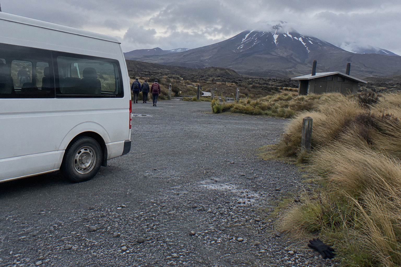
DOC restricts parking at the road ends to a 4 hour maximum from Labour weekend in late October to 30 April, and suggests booking a shuttle, so almost every crossing day starts with transport logistics. The Crossing is one-way, 20.2 km, and shuttles solve that by moving you between the ends. Choices split into park-and-ride options at Ketetahi and return shuttles from National Park Village, Taupo and Turangi.
The DOC booking system for the Crossing is free and recommended, and a booking is needed for shuttle and guided trips. On the ground, the biggest decision is which end you drive to. With a one-way park-and-ride you park at the Ketetahi car park, ride to Mangatepopo, and walk the Crossing back to your own car: one-way transport, no return leg. The Ruapehu Scenic Shuttles Ketetahi park-and-ride, from NZ$68 per person and rated 4.8 across 670 reviews, is the most reviewed option of that kind, with free cancellation up to 24 hours before.
From the Taupo and Turangi side, the Tongariro Expeditions Crossing shuttle from Taupo or Turangi runs shuttle transfers rated 4.7 across 431 reviews, from NZ$75 per person, with a booked day of 8 to 10 hours and free cancellation up to 24 hours before. Departure points are Taupo, Turangi or the Ketetahi Park & Ride depending on the option. From National Park Village, the Dempsey Buses return bus, rated 4.8 across 72 reviews, runs from NZ$90 per person with free cancellation up to 24 hours before, and children under 6 are excluded.
Two cautions travel with all of this. First, DOC says shuttle buses generally do not operate in winter, May to late October, while guided trips include transport, so a Red Crater day outside the summer season usually points toward a guide. Second, shuttle times and frequencies vary by operator and by day: read the specific booking page for the day you want. The shuttle timetable guide and the Ketetahi finish guide carry the planning detail.
| Transport option | Type | Departure | Rating | Price |
|---|---|---|---|---|
| Ruapehu Scenic Shuttles Ketetahi park-and-ride | One-way shuttle with parking | Ketetahi car park | 4.8 from 670 reviews | From NZ$68 |
| Tongariro Expeditions Taupo or Turangi shuttle | Shuttle transfers | Taupo, Turangi or Ketetahi | 4.7 from 431 reviews | From NZ$75 |
| Dempsey Buses return bus | Return shuttle | National Park Village | 4.8 from 72 reviews | From NZ$90 |
The Tongariro Crossing Shuttles round trip from National Park Village is the most reviewed tour here, 890 reviews at 4.7, from NZ$75 per person with free cancellation up to 24 hours before. It departs the Park n Ride at 59 Findlay Street in National Park Village, and its booked window of about 8 hours covers the return shuttle and the self-guided hike together.
What About Weather And Winter On Red Crater?
From May to October DOC reclassifies the track as an Expert route where alpine skills are essential, with snow, ice, avalanche risk and sub-zero temperatures on the Red Crater climb. In November to April the same climb is a summer alpine track, still rated High fitness, and the walking time drops to 7 to 8 hours. No source can promise a clear day up there, so plan around conditions, not around the calendar.
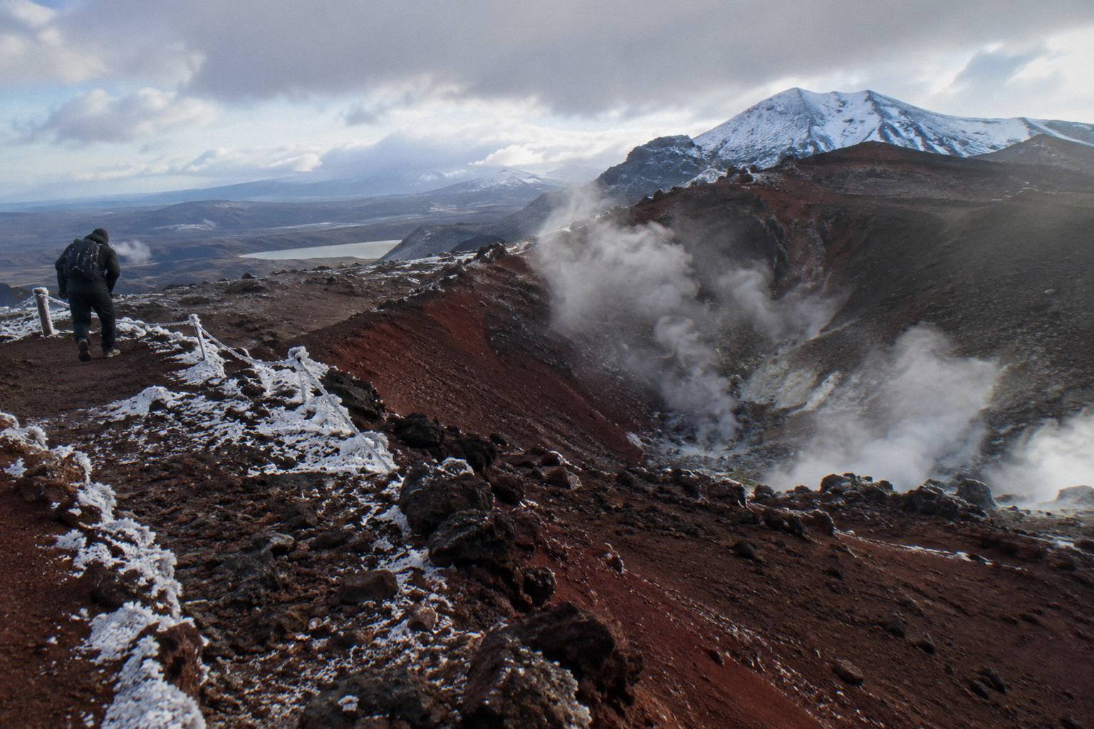
The structural facts are stable even though the weather is not. Volcanic alert levels for Tongariro change daily, and DOC runs an advisory system for the Crossing; trips go ahead only when the advisory and the forecast allow, which is why every guided and shuttle product on this site is described as conditions allowing. Before an independent crossing day, the checking routine is DOC's Crossing page and alerts, the GeoNet volcano page, the NIWA Red Crater forecast, the MetService mountain forecast and, in the snow season, avalanche.net.nz. The volcanic risk page for Tongariro National Park explains how the alert system works, without printing a live level here.
Winter daylight is short: DOC gives 9 to 11 hours of daylight in the winter months, against a 9-hour walking time. That arithmetic alone pushes most May to October walkers toward a guide, and DOC says as much directly. For independent winter travel DOC lists its own essentials, crampons, ice axe, helmet, competency, and avalanche gear. On the guided side, the Adrift tours supply crampons and ice axes if winter conditions require them.
When conditions close the Crossing or the forecast turns, DOC names alternative walks: Taranaki Falls and Tama Lakes. Having a backup named in advance turns a cancelled Red Crater day into a plan rather than a loss. The Crossing weather guide and the winter on the Crossing guide go deeper on both seasons.
What Mistakes Trip People Up On The Red Crater Climb?
The recurring mistakes on Red Crater are starting too late, underestimating the ridge in wind, rushing the scree descent, treating the Emerald Lakes as a swim stop, and arriving at the road end without a shuttle plan. Each one is avoidable with simple planning, and none of them requires expert skill, only respect for the numbers DOC publishes and the conditions on the day.
Late starts compound. The 4 hour parking maximum at the road ends in season already forces an early arrival, and afternoon deterioration on an exposed ridge is the classic pattern. Walkers who budget the full 7 to 8 hours, rather than a best-case time, give themselves the margin the crater deserves. Related: packing matters as much as timing, and the what to wear guide covers layers for a section where the temperature gap between the valley and the rim can be severe.
The waterways mistake is cultural rather than safety-driven, and it is the easiest to make innocently. The request from Kaumatua Te Ngaehe Wanikau is not to touch or enter any of the waterways including the alpine lakes, so the Emerald Lakes are a viewpoint and a lunch rock, nothing more. The scree descent mistake follows from the same view: the lakes look close from the rim, the surface underfoot is loose, and slow is the only speed that works.
The transport mistake is the most expensive. Arriving at a road end in season without a shuttle booking can mean choosing between exceeding the 4 hour parking limit and abandoning the day. Every shuttle option in the tables above solves it, and free cancellation windows of 24 hours mean booking early costs almost nothing in flexibility. DOC says part of a shuttle fee, about NZ$40, goes to conservation, which is worth knowing when comparing the price of a seat.
| Common mistake | The fix |
|---|---|
| Starting the climb late in the day | Start early; budget the full DOC time |
| Underestimating wind on the ridge | Check the advisory and forecast first |
| Rushing the scree descent | Short, slow steps; poles help |
| Touching or entering the lakes | DOC's request: view, do not enter |
| No shuttle plan at the road end | Book before you drive, most cancel free up to 24 hours |
What The Numbers Say About The Red Crater Day
The verified numbers frame the whole day: 20.2 km one way, 1196 m of elevation change each direction, a rim at 1886 m between a 1120 m start and a 760 m finish, and DOC times of 7 to 8 hours in summer and 9 in winter. Around those track numbers sit the booking figures: guided crossings from NZ$450 and shuttles from NZ$68 per person.
Costs deserve one honest sentence each. The cheapest printed per-person price here is the Ruapehu Scenic Shuttles Ketetahi park-and-ride from NZ$68; the Adrift premium guided hike is from NZ$450. Where a figure is not printed here, the booking page shows it.
Distances to the area, attributed to DOC: Whakapapa 10.4 km, National Park 13.5 km, Turangi 36.7 km, Ohakune 48 km and Taupo 86.5 km from the track. Auckland is a long way, and overnight products exist for it: the Kiwi Road Tours private transfer from Auckland is a transfer, not a guided hike, with the walk self-guided, and the ExperienceKart private three-day tour from Auckland includes the Crossing as one self-guided leg alongside Huka Falls and Lake Taupo. Neither is a guided crossing of Red Crater.
A private guided day is the other end of the scale from a NZ$68 shuttle seat. The Adrift Tongariro private guided Crossing, covered above, puts a guide on the ridge for your group only, and the private guided hike guide works through when that premium is worth paying. This site, Tongariro Emerald Lakes Hike, exists to make exactly that kind of comparison easy, with every figure traceable to DOC or to the operator's own listing.
For travellers basing themselves in Ohakune, the Dempsey Buses return shuttle from Ohakune offers a shuttle-only day with free cancellation up to 24 hours before, though no rating figure has been read for it. It is one of six departure points across the options covered on this site, and Ohakune sits 48 km from the track by DOC's own distance.
The broader choice, reduced to one line: a guide from NZ$450 who reads the mountain, or a shuttle seat from NZ$68 that solves the one-way problem and leaves the mountain reading to you. Both reach the same rim.
Common Questions About Red Crater
How High Is Red Crater On The Tongariro Crossing?
Red Crater is 1886 m, the highest point of the 20.2 km Tongariro Alpine Crossing, according to DOC. The track starts at Mangatepopo at 1120 m and finishes at Ketetahi Road at about 760 m.
How Long Does The Climb To Red Crater Take?
DOC gives 7 to 8 hours for the full Crossing from November to April and 9 hours from May to October. The Red Crater climb itself is the steepest section and sits roughly two thirds of the way along the route, so most walkers reach the rim in the middle of the day.
Is The Red Crater Section Dangerous?
It is steep and exposed in any season, and DOC grades the whole track High fitness. From May to October it forms part of an Expert route with snow, ice and avalanche risk, where DOC says alpine skills are essential and it is best to go with a guide.
Can You See The Emerald Lakes From Red Crater?
Yes. DOC describes the route off the crater as a steep scree descent to the vivid Nga Rotopounamu, the Emerald Lakes, which sit directly below the rim on the far side.
Do You Need A Guide For Red Crater?
In summer a guide is optional for prepared walkers. In winter DOC recommends one. Adrift Tongariro runs the three guided tours covering Red Crater and the Emerald Lakes, including the premium guided hike from NZ$450 per person.
Where Do You Park For A Red Crater Crossing Day?
From Labour weekend in late October to 30 April, DOC restricts parking at the road ends to a 4 hour maximum and suggests booking a shuttle. Options include one-way park-and-rides at the Ketetahi car park and return shuttles from National Park Village, Taupo and Turangi.