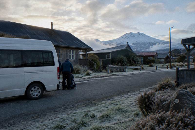
Distance And Elevation To The Emerald Lakes On The Crossing
DOC measures the Tongariro Alpine Crossing at 20.2 km one way with 1196 m of elevation change, and the Emerald Lakes sit just below the highest point of that route at Red Crater, 1886 m. Here is what those numbers mean for your legs and your booking.
Short answer
The Tongariro Alpine Crossing is 20.2 km one way with an elevation change of plus and minus 1196 m, and its high point, Red Crater, sits at 1886 m. DOC allows 7 to 8 hours of walking from November to April and 9 hours from May to October. The Emerald Lakes sit on the far side of Red Crater, reached by a steep scree descent, so most of the day's climbing is done before you see them.
For the shape of the whole day on a map, the Crossing map with the Emerald Lakes marked lays out the route end to end.
Quick Facts
The verified numbers for the whole day are these: 20.2 km one way, plus and minus 1196 m of elevation change, a start at Mangatepopo at 1120 m, a high point at Red Crater at 1886 m and a finish at Ketetahi Road at about 760 m, all published by DOC. Walking time runs 7 to 8 hours from November to April and 9 hours from May to October.
| Fact | Figure |
|---|---|
| Distance, one way | 20.2 km (DOC) |
| Total elevation change | Plus and minus 1196 m (DOC) |
| Track start | Mangatepopo, 1120 m |
| High point | Red Crater, 1886 m |
| Track finish | Ketetahi Road, about 760 m |
| Walking time, November to April | 7 to 8 hours (DOC) |
| Walking time, May to October | 9 hours (DOC) |
| Fitness grading | High (DOC) |
| Track grade | Intermediate in summer, Expert May to October |
DOC publishes these figures on its Tongariro Alpine Crossing track page, and they are the only distance and elevation numbers this guide uses. Plenty of rounder figures circulate online; DOC's are the measured ones.
How Far Is The Walk To The Emerald Lakes?
The full Tongariro Alpine Crossing runs 20.2 km one way, measured by DOC from the Mangatepopo end to the Ketetahi Road end, and the Emerald Lakes sit beyond the halfway high point of that route. No separately published leg distance from either trailhead to the lakes exists, so the honest planning figure is the full 20.2 km. Almost nobody walks to the lakes and back the way they came.
That last point matters more than it sounds. Because the lakes sit below Red Crater, close to the far end of the route's main ridge, walking in from Mangatepopo and out to Ketetahi is the only realistic way to see them, and that means committing to the whole 20.2 km. The products that get you there reflect this: the Ruapehu Scenic Shuttles Ketetahi park-and-ride, the Tongariro Crossing Shuttles round-trip from National Park Village, the Dempsey Buses return bus, and the Adrift Tongariro guided tours all exist to solve the one-way distance problem. Without one of them, your car is at the wrong end of 20.2 km.
The distance also explains the shape of the day. It is not a 20 km stroll: 1196 m of that is uphill and the same again down, concentrated into a few short, steep sections rather than spread evenly. DOC grades the fitness requirement High in summer, which is unusually blunt for a day walk, and the walk time to the Emerald Lakes breaks down how those hours distribute across the day.
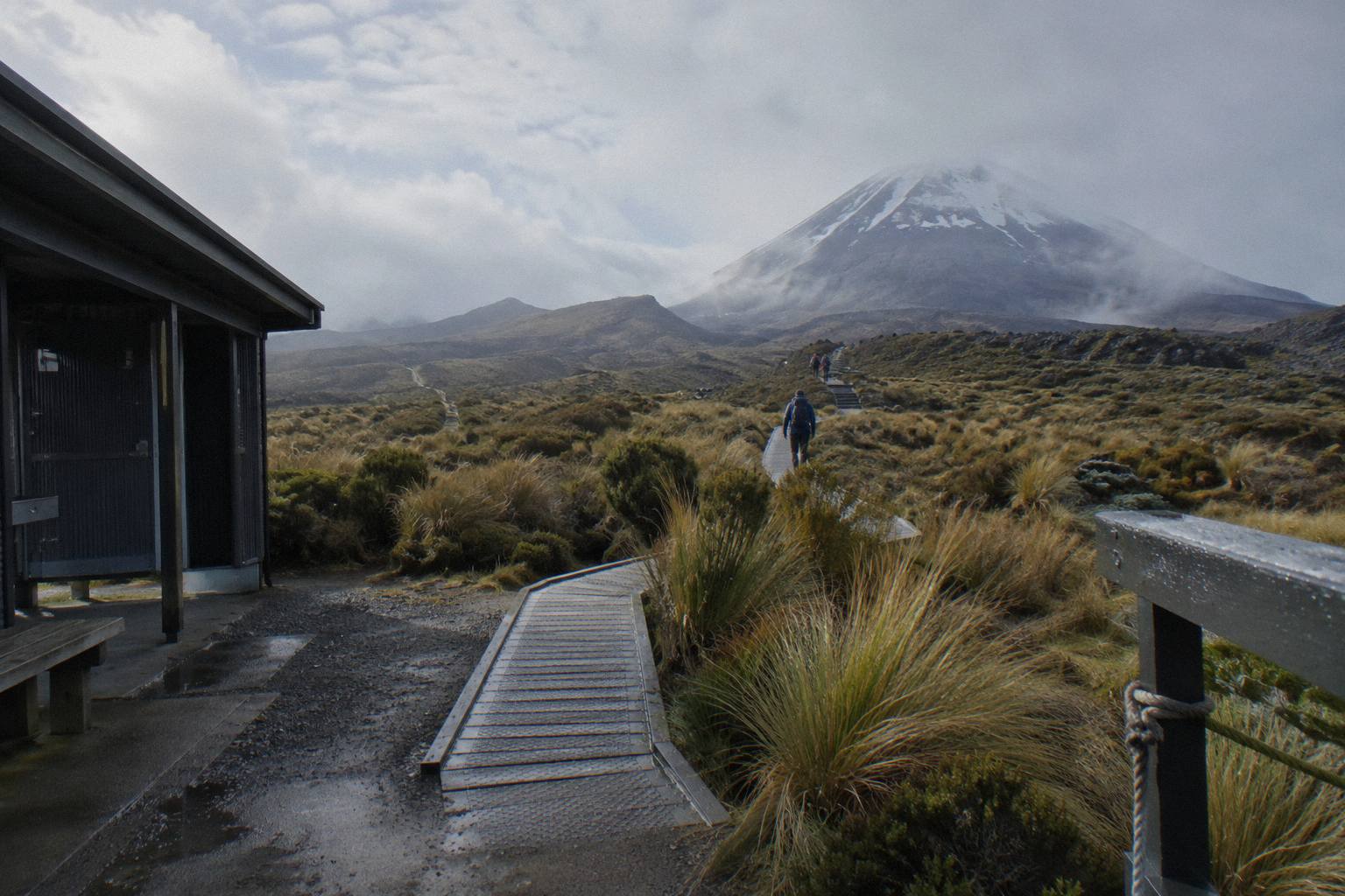
A common surprise for visitors is that the flat-looking early stretch from Mangatepopo is the easy quarter, and the hardest climbing starts after it. The track follows a valley, then boardwalks across a wetland, and only then begins the work. People who pace themselves for the first hour and find it comfortable are often the same people who are caught out an hour later.
How Much Climbing Is There, Really?
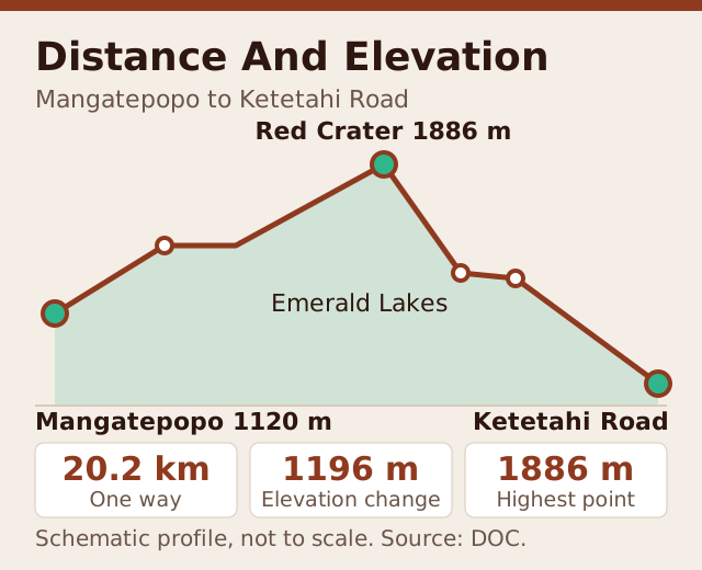
The Crossing's elevation change is plus and minus 1196 m, starting at 1120 m at Mangatepopo, topping out at 1886 m at Red Crater, and finishing at about 760 m at Ketetahi Road, all figures from DOC. That is more climbing than many named day walks in the country, and it happens at altitude, where the air is thinner and the weather can turn within a single hour.
Read those three elevations as the shape of the day. From 1120 m you climb to 1886 m, but not in one steady push: there are dips and plateaus between Mangatepopo and Red Crater, including the South Crater flats, which is why the total elevation change, 1196 m each way, is larger than the simple start-to-summit difference. On the way out you descend from 1886 m to about 760 m, again with rises folded in.
The two steepest named pieces are the Devil's Staircase, the stepped climb up the Mangatepopo side, and the scree descent from Red Crater toward the Emerald Lakes. DOC describes that descent plainly as steep. The Devil's Staircase climb to the Emerald Lakes and the Red Crater to Emerald Lakes descent each get their own guides here, because they are the two sections where the elevation numbers stop being abstract.
| Point On The Route | Elevation | What It Feels Like |
|---|---|---|
| Mangatepopo start | 1120 m | Gentle valley walking |
| South Crater | A high basin below the Staircase | Brief flat respite |
| Red Crater summit | 1886 m | The high point, exposed |
| Emerald Lakes basin | Just below Red Crater | Steep scree descent in |
| Ketetahi Road finish | About 760 m | Long gradual descent out |
This profile is exactly why a reader checking the climb is often really checking whether a guide is worth booking. The Adrift Tongariro premium guided hike, from NZ$450 per person, rated 4.6 across 242 reviews, takes a group across the full route with a guide who reads the weather and the track, and the Adrift Tongariro full-day guided Crossing, rated 4.7 across 278 reviews, does the same job. Both are genuine guided hikes; neither is a shuttle with a narration track. When the elevation profile includes an exposed 1886 m summit ridge, that distinction earns its price for a lot of walkers, and the is a guide worth it guide weighs it in full.
Where Exactly Do The Emerald Lakes Sit On The Climb?
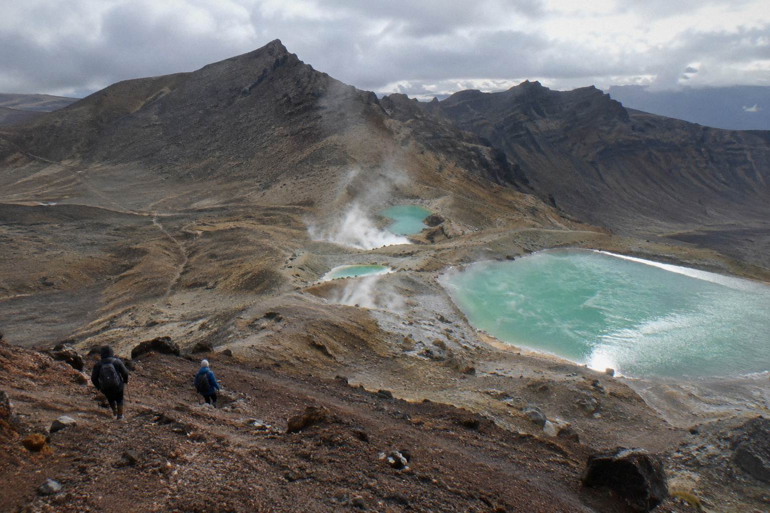
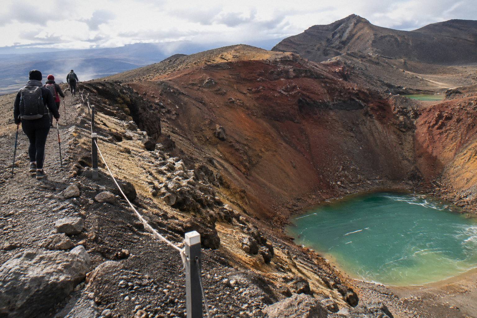
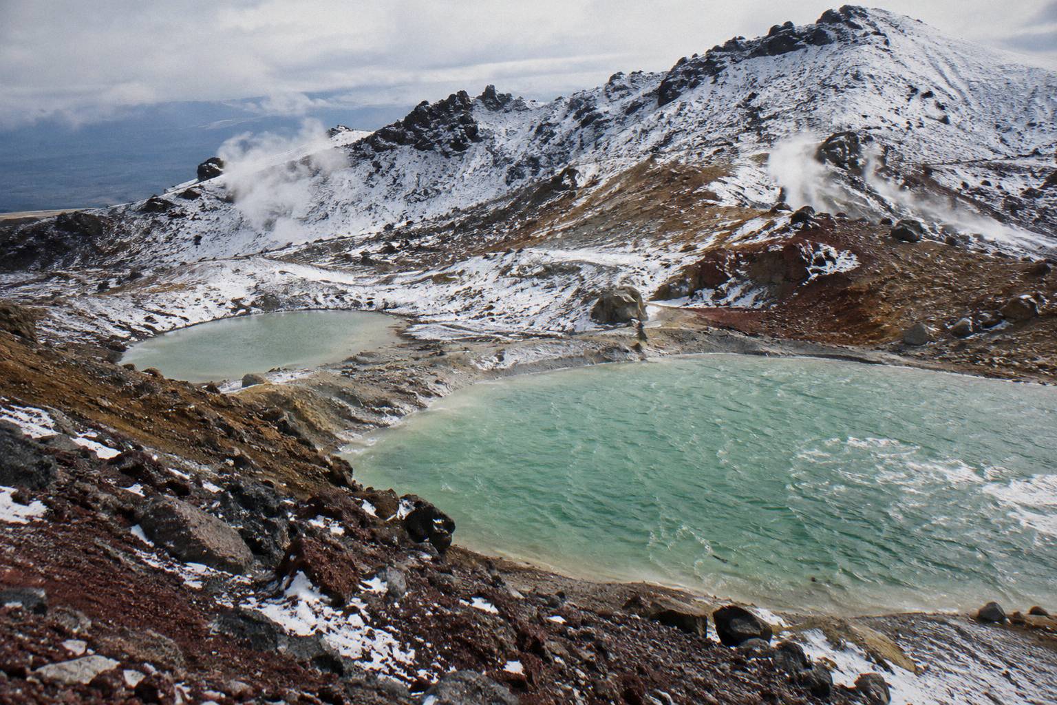
The Emerald Lakes, known to Ngati Hikairo ki Tongariro as Nga Rotopounamu, sit in the basin immediately below Red Crater's summit on the Ketetahi side, reached by what DOC calls a steep scree descent. They arrive after the bulk of the day's 1196 m of climbing is already behind you, which is why tired legs are part of the view.
The approach is dramatic by design of the landscape rather than of the track builder. From the rim of Red Crater the lakes appear below you, and the descent to them runs on loose scoria where footing is uncertain. Coming up the Mangatepopo side, by contrast, you get glimpses of the ridge line long before the lakes themselves come into view. The Central Crater section after the Emerald Lakes covers a quieter stretch.
No verified leg distance from a trailhead to the lakes exists, so treat the full 20.2 km as the planning figure. One cultural note also belongs here because the lakes themselves are the destination. DOC relays a request from Kaumatua Te Ngaehe Wanikau that visitors respect the maunga tapu by not touching or entering any of the waterways, including the alpine lakes. The lakes are for looking at, not swimming in, and the tapu framing is explained in the guide to swimming in the Emerald Lakes.
If the thought of that scree descent is the part that gives you pause, the steepest sections are also where a guided group moves slowest and most carefully, and where the guides' local knowledge of the day's conditions does the most work. The crossing is a dual World Heritage area for both its natural and cultural values, and the mountains are sacred to Ngati Hikairo ki Tongariro of Ngati Tuwharetoa; that context is part of what a guide carries across the day.
How Long Does The Distance Take To Walk?
DOC's walking bands are 7 to 8 hours from November to April and 9 hours from May to October, for the full 20.2 km. Those are walking times, not tour lengths: booked tours and shuttles quote total day durations of 8 to 10 hours once transfers and stops are counted. Fit walkers finish inside the band; walkers who underestimate the elevation routinely finish outside it.
The gap between the two seasonal bands is the winter route, which DOC grades Expert. From May to October the track can hold snow and ice, sub-zero temperatures and avalanche risk, and DOC's own wording is that alpine skills are essential and it is best to go with a guide. The 9 hour figure assumes competence on that terrain; it is not a slower version of the summer walk, it is a different walk.
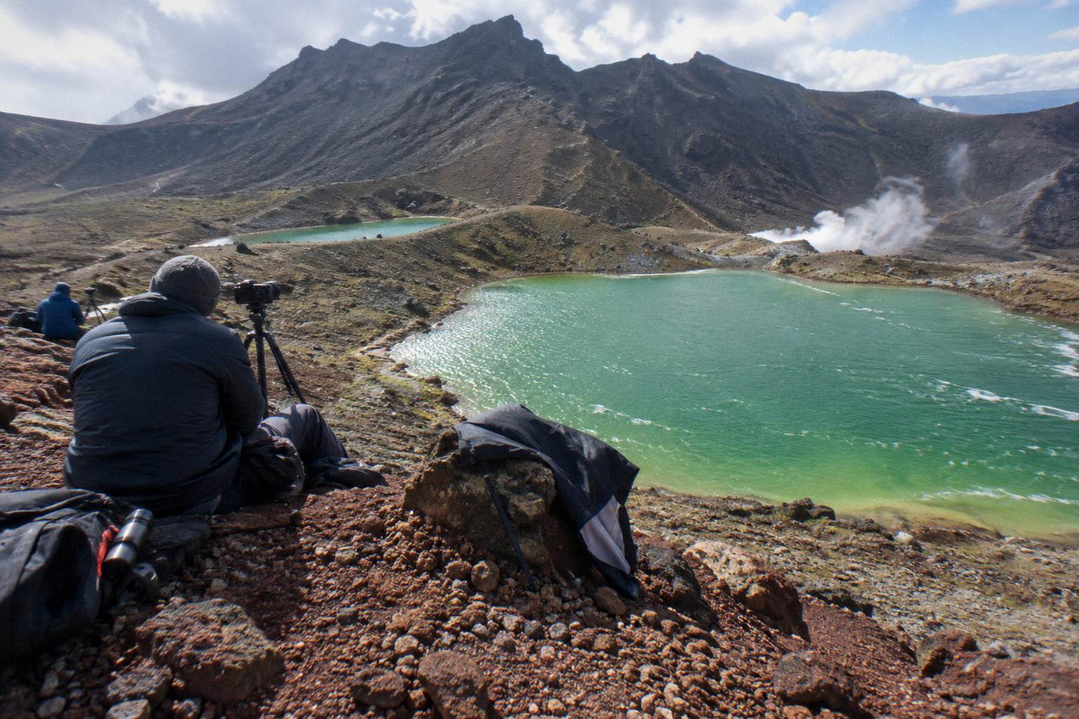
For summer walkers the 7 to 8 hour band hides a wide spread in practice. The fitness for the climb to the Emerald Lakes guide is honest about what High fitness means in DOC's grading, and the blog answer to how long the walk to Emerald Lake takes gives the shorter version. Two structural factors eat time that flat-distance walkers don't budget for: the altitude on the middle of the route, and the scree sections, which slow both the ascent and the descent.
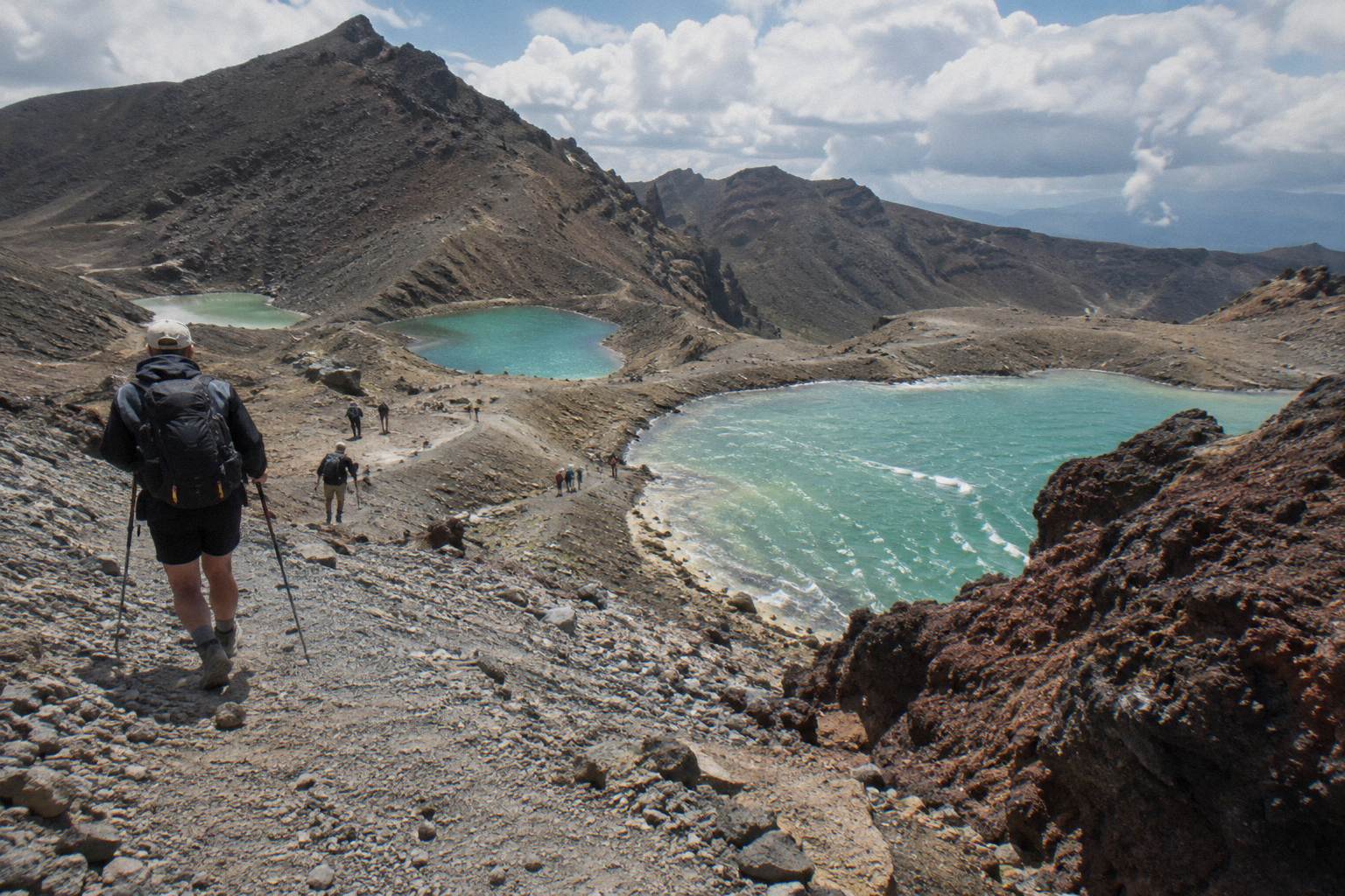
Guided Hike Or Shuttle For The Full Distance?
Three Adrift Tongariro tours are guided hikes across the full Crossing, including the premium guided hike from NZ$450 per person, the full-day guided Crossing rated 4.7 across 278 reviews, and the private guided Crossing rated 4.5 across 30 reviews. Everything else that serves the 20.2 km is transport: shuttles and transfers that solve the one-way distance while you walk the route yourself.
Adrift Tongariro runs the three guided tours. The premium guided hike departs National Park Village, 53 Carroll Street, with pickups from Taupo, Turangi and Whakapapa at a surcharge on private bookings, allows free cancellation up to 14 days before, and supplies crampons and ice axes for winter conditions if required; bring your own lunch. The full-day guided Crossing is a 9 hour booked day, non-refundable, with price on the booking page. The Adrift Tongariro private guided Crossing is a 7 to 9 hour private day, also non-refundable, price on the booking page. All three reach the Emerald Lakes with a guide, and none is a shuttle with a narration track. A guided hike is never just a ride, and a shuttle is never guided.
The Tongariro Expeditions Crossing shuttle from Taupo or Turangi, from NZ$75 per person, rated 4.7 across 431 reviews, is the strong Taupo-side option, with free cancellation up to 24 hours before and a booked day of 8 to 10 hours depending on the option. It is a shuttle with transfers, not a guided walk.
From the National Park Village side, the Tongariro Crossing Shuttles round-trip, from NZ$75 per person and the most reviewed tour here at 4.7 across 890 reviews, runs a return shuttle, and the Dempsey Buses return bus from National Park Village, from NZ$90 per person, rated 4.8 across 72 reviews, covers the same job and excludes children under 6.
The Ketetahi park-and-ride products work differently, and the distance numbers explain the logic: you park at the Ketetahi end, ride the shuttle to Mangatepopo, then walk the 20.2 km back to your own car. The Ruapehu Scenic Shuttles Ketetahi park-and-ride, from NZ$68 per person, rated 4.8 across 670 reviews, is the most reviewed of these, with free cancellation up to 24 hours before; the Owhango Adventures Ketetahi park-and-ride, rated 4.8 across 333 reviews, and the Tongariro Expeditions Ketetahi park-and-ride, rated 4.3 across 106 reviews, run the same one-way format. None of these is a return, and none is guided: the walk is yours.
| Tour | Type | Price | Rating And Reviews | Cancellation |
|---|---|---|---|---|
| Adrift Tongariro premium guided hike | Guided, full Crossing | From NZ$450 pp | 4.6, 242 reviews | Free, up to 14 days |
| Adrift Tongariro full-day guided Crossing | Guided, full Crossing | Check the booking page | 4.7, 278 reviews | Non-refundable |
| Adrift Tongariro private guided Crossing | Guided, private | Check the booking page | 4.5, 30 reviews | Non-refundable |
| Tongariro Crossing Shuttles round-trip, National Park Village | Return shuttle | From NZ$75 pp | 4.7, 890 reviews | Free, up to 24 hours |
| Dempsey Buses return bus, National Park Village | Return shuttle | From NZ$90 pp | 4.8, 72 reviews | Free, up to 24 hours |
| Ruapehu Scenic Shuttles Ketetahi park-and-ride | One-way park-and-ride | From NZ$68 pp | 4.8, 670 reviews | Free, up to 24 hours |
| Tongariro Expeditions shuttle, Taupo or Turangi | Shuttle with transfers | From NZ$75 pp | 4.7, 431 reviews | Free, up to 24 hours |
Auckland-based travellers have two longer options: the Kiwi Road Tours private transfer from Auckland, a private transfer across 2 days in which the walk is self-guided and the Crossing shuttle is excluded, and the ExperienceKart private three-day tour from Auckland with Huka Falls and Lake Taupo, in which the Crossing is one self-guided leg. Neither is a guided Crossing tour, and both are a long way from the mountain, so they suit travellers building a wider trip rather than a Crossing day.
How The Elevation Changes With The Seasons
From November to April the Crossing is an intermediate tramping track with a 7 to 8 hour walking time; from May to October DOC grades it an Expert route with a 9 hour time, snow, ice, avalanche risk and sub-zero temperatures, and says alpine skills are essential and it is best to go with a guide. The distance never changes; the difficulty of every metre of the 1196 m of climbing does.
Winter is where the guided-versus-shuttle question answers itself. DOC's winter essentials for independent trips list crampons, ice axe, helmet, competency and avalanche gear. On the Adrift guided tours, crampons and ice axes are supplied for winter conditions if required, which is one of the concrete differences a guide buys you; shuttles carry no gear at all, because a shuttle is transport, not a mountain service.
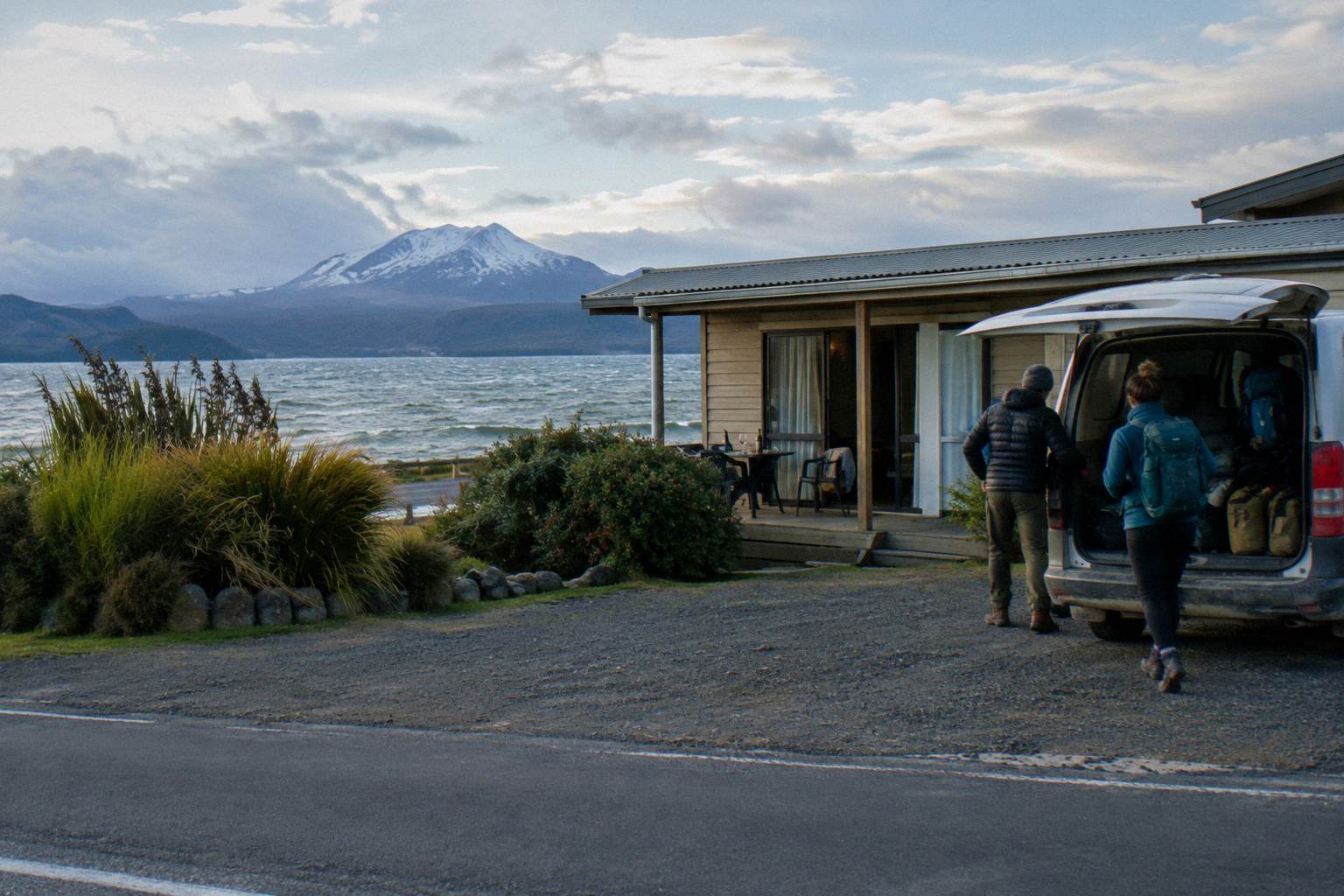
The seasonal switch also hits logistics. DOC says shuttle buses generally do not operate through winter, May to late October, while guided trips include transport. Volcanic alert levels change daily, and structural checks belong to DOC's Tongariro page and GeoNet rather than to any article, including this one. The winter snow at the Emerald Lakes and best month to hike guides carry the seasonal detail.
Parking, Distance And Why Shuttles Exist
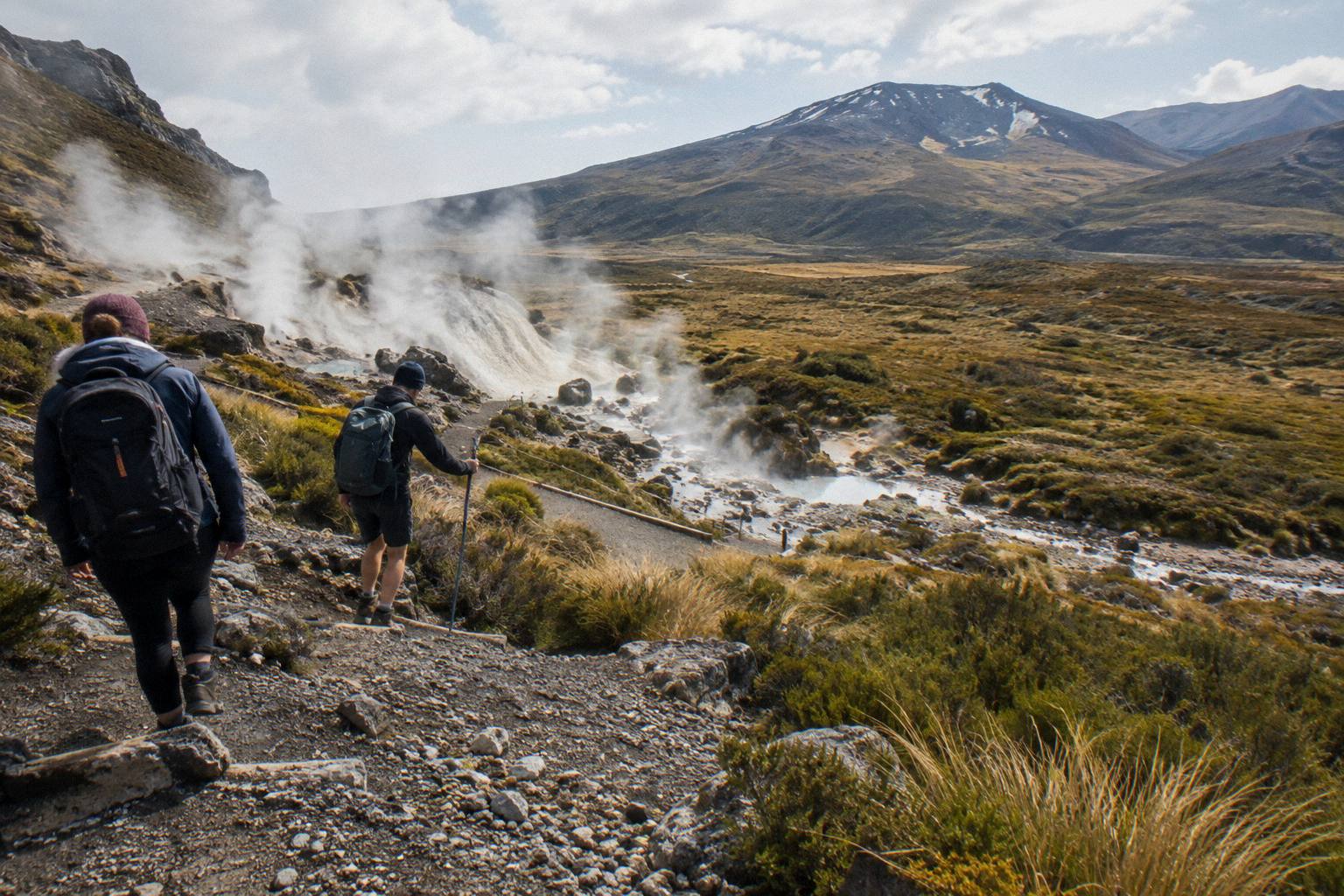
From Labour weekend in late October to 30 April, DOC applies a 4 hour maximum parking restriction at the road ends and suggests booking a shuttle, and says there is no parking for Crossing walkers at Mangatepopo car park in summer, with a private car park near Ketetahi. Since the walk is 20.2 km one way, a 4 hour limit makes driving both trailheads impossible; the restriction and the distance together are why the shuttle industry exists.
The arithmetic is unforgiving. Walking 20.2 km with 1196 m of climbing takes most people 7 to 8 hours in summer, double the parking allowance, so a car left at the finish while you shuttle to the start, or a round-trip shuttle from your accommodation, is the workable pattern. The Ketetahi park-and-ride products formalise the first pattern; the National Park Village, Taupo and Turangi round-trips formalise the second. The Ketetahi finish after the Emerald Lakes guide covers the end of the day in detail.
DOC's own published distances from the track, worth knowing when you choose a base: Whakapapa 10.4 km, National Park 13.5 km, Turangi 36.7 km, Ohakune 48 km, and Taupo 86.5 km. The National Park Village to the Emerald Lakes and Taupo day plan guides turn those figures into itineraries. Auckland is a long way, and the overnight and multi-day products above are the realistic way to combine it with the Crossing.
DOC also runs a booking system for the Crossing that is free and recommended, and you need it in place for shuttle and guided bookings. The details live on the DOC booking system page.
Mistakes That Trip People Up On The Elevation
The four recurring errors are treating the booked tour duration as walking time, budgeting flat-distance pace for 1196 m of climbing, assuming the lakes sit near the start rather than beyond the high point, and ignoring the 4 hour parking limit when planning a self-drive. Each one is avoidable with DOC's own numbers, which is why this guide sticks to them.
The first mistake deserves its own sentence again because it is the most common: an 8 to 9 hour booked day on a guided tour or shuttle is the whole package, transfers included, while DOC's 7 to 8 hours is time on the track. Confusing the two leads people to book a tight afternoon and discover the day does not fit.
The second is pace. Walkers who cover 20 km on a rail trail in four hours arrive expecting the same here; the climbing, the altitude and the scree typically add half again. The third is positional: the Emerald Lakes are a reward placed after Red Crater, not a feature near the car park, so any plan that treats them as a short walk in is a plan built on the wrong map. The fourth is the parking trap covered above: in summer the road ends simply do not hold an all-day Crossing car.
Common Questions About Distance And Elevation On The Crossing
How Far Is The Tongariro Alpine Crossing?
DOC measures it at 20.2 km one way, from Mangatepopo to Ketetahi Road, with an elevation change of plus and minus 1196 m. There is no separately verified leg distance to the Emerald Lakes, so use the full figure for planning.
How High Is The Climb To The Emerald Lakes?
The route tops out at Red Crater, 1886 m, and the Emerald Lakes sit just below it on the Ketetahi side. The walk starts at 1120 m at Mangatepopo and finishes at about 760 m at Ketetahi Road.
Is The Distance To The Emerald Lakes Hard?
DOC grades the fitness requirement High and the track intermediate in summer, Expert from May to October. The 20.2 km with 1196 m of climbing takes DOC-listed walking times of 7 to 8 hours in the November to April season and 9 hours in winter.
Do I Have To Walk The Whole Crossing To See The Lakes?
In practice, yes. The lakes sit beyond the route's high point, and no shuttle product sells a partial walk. Shuttles and guided tours all cover the full 20.2 km; the difference is whether you walk it with a guide or on your own after a ride to the start.
Can I Park At The Track And Walk?
Not in summer. From Labour weekend in late October to 30 April, DOC applies a 4 hour maximum at the road ends and suggests booking a shuttle, and says there is no parking for Crossing walkers at Mangatepopo car park in summer.
Is A Guide Worth It Given The Elevation?
That depends on your mountain experience, but the guided tours cover weather judgment, pacing through the steep sections and, in winter, crampons and ice axes. The Adrift Tongariro premium guided hike runs from NZ$450 per person with free cancellation up to 14 days before.
The numbers on this page are DOC's, the tours are the ones you can actually book, and together they answer the question the elevation profile always asks: whether this is a walk you do alone after a shuttle ride, or a day you hand to a guide. Tongariro Emerald Lakes Hike covers the rest of the planning, from the sunrise start to what to wear.