Blue Lake On The Tongariro Crossing: The Stop After The Emerald Lakes
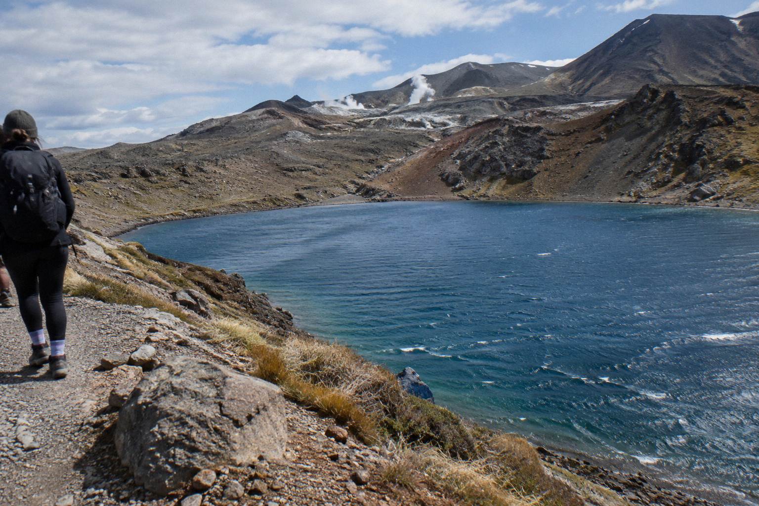
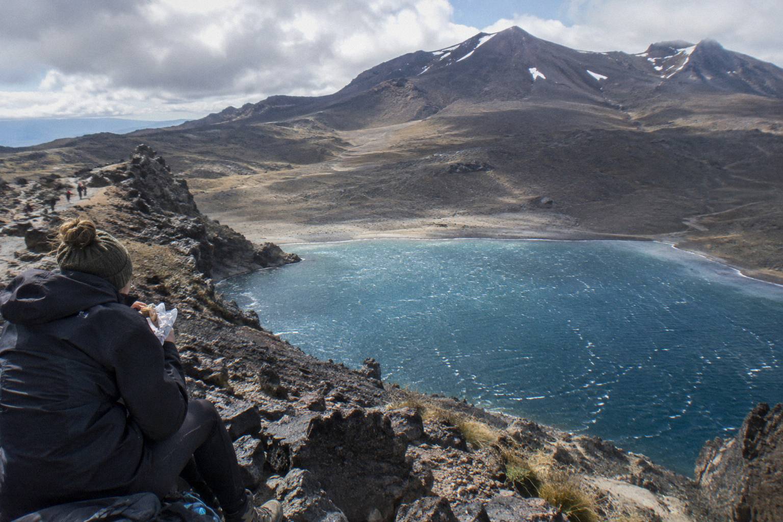
Blue Lake is the quiet reward after the Emerald Lakes, sitting higher on the eastern side of the Crossing, reached by a short climb over volcanic terrain and protected by a cultural request that visitors do not touch or enter the water.
Short answer
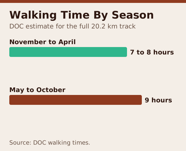
Blue Lake, known as Waiwhakaata, sits just above the Emerald Lakes on the Tongariro Alpine Crossing. DOC lists the full track at 20.2 km one way with 7 to 8 hours of walking from November to April and 9 hours from May to October. Visitors are asked not to touch or enter the lake, and most walkers reach it on a shuttle or guided day from National Park Village or Ketetahi.
In short: Blue Lake, or Waiwhakaata, is the deep blue tarn you reach shortly after the Emerald Lakes, up a short, exposed climb from the saddle between them. DOC measures the whole Crossing at 20.2 km one way with an elevation change of plus and minus 1196 m, and grades the walk High fitness. The lake is tapu to Ngati Hikairo ki Tongariro, and the standing request is that visitors do not touch or enter any of the alpine waterways, this one included. Most people fold it into a full Crossing day built around a shuttle or a guided tour, because summer parking at the road ends is limited to 4 hours.
Part of the wider route guide on Tongariro Emerald Lakes Hike, alongside the red crater to Emerald Lakes descent.
| Quick fact | Detail |
|---|---|
| Track | Tongariro Alpine Crossing, one way |
| Total length | 20.2 km |
| Elevation change | Plus and minus 1196 m |
| Highest point | Red Crater at 1886 m |
| Walking time | 7 to 8 hours November to April, 9 hours May to October |
| Fitness grading | High |
| Summer track status | Intermediate tramping track |
| Winter track status | Expert route, alpine skills essential |
| Summer parking | 4 hour maximum at the road ends, Labour weekend to 30 April |
| Cultural request | Do not touch or enter the alpine lakes |
Where Is Blue Lake On The Crossing Route?
Blue Lake sits on the eastern side of the Tongariro Alpine Crossing, roughly two thirds of the way along the 20.2 km walk from Mangatepopo to Ketetahi Road. You reach it after Red Crater and the steep scree descent to the Emerald Lakes, via a short climb above and beyond those lakes, before the long traverse toward Ketetahi, and the track sidles past rather than descending to the shore.
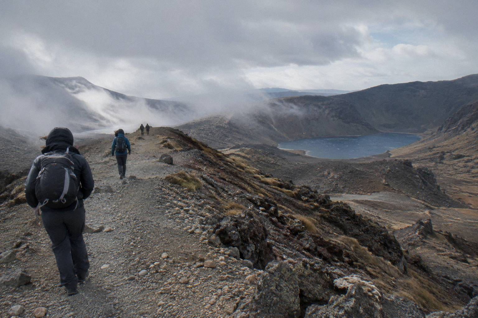
The lake sits inside a small volcanic basin below the Tongariro massif, and the track passes along its western side at a height that keeps most of the shoreline at a respectful distance. It is colder, deeper looking and far quieter than the Emerald Lakes, partly because of where it falls in the day. By the time walkers arrive here, the crowds that gather at the Emerald Lakes viewpoint have thinned, since plenty of photography stops happen on the scree above rather than at the lake itself.
DOC's official track page describes the sequence plainly: the track climbs to Red Crater at 1886 m, then drops on steep scree to the Emerald Lakes, then rises gently over a lip to Blue Lake before continuing north. You can read the full track description on the DOC Tongariro Alpine Crossing page, which is the source for every distance and elevation figure on this page.
If you are still mapping the whole day, the Tongariro Crossing map with the Emerald Lakes shows where each landmark sits between the two road ends, and the Ketetahi finish after the Emerald Lakes covers what remains after Blue Lake.
The Route From Emerald Lakes Up To Blue Lake
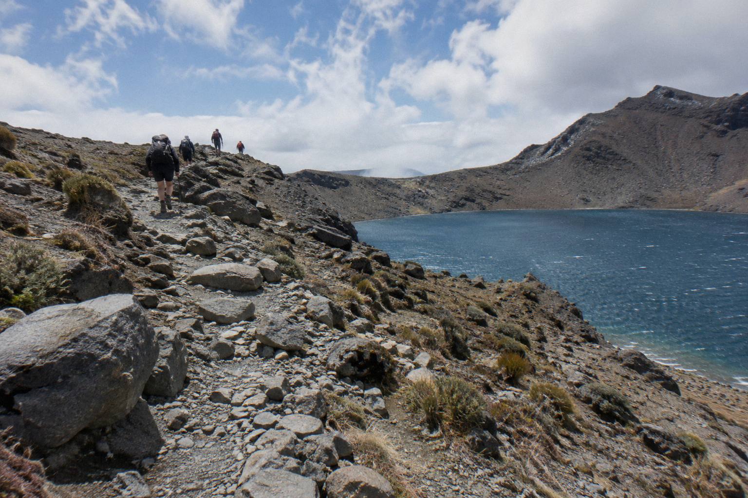
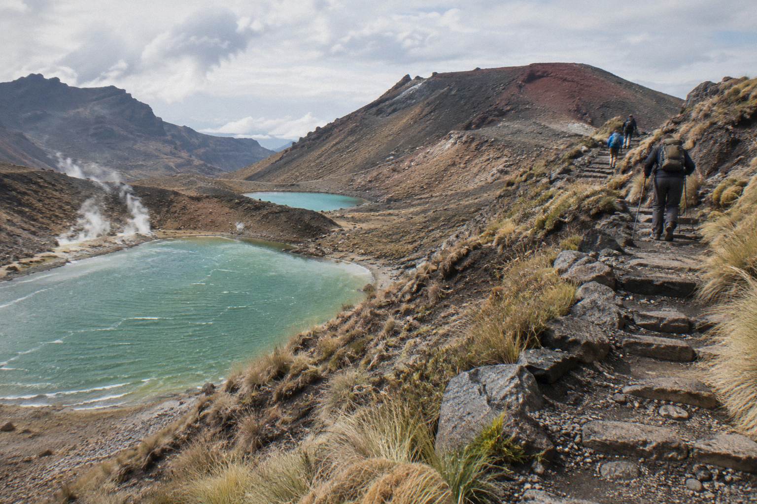
The route from Emerald Lakes to Blue Lake is a short, gentle climb of about 20 to 30 minutes over a low volcanic ridge and past a small vent area to the lake's western edge. The surface is dirt and loose stone rather than deep scree, most walkers keep moving without resting, and wind is the main thing that changes how it feels, since the exposed section has no shelter.
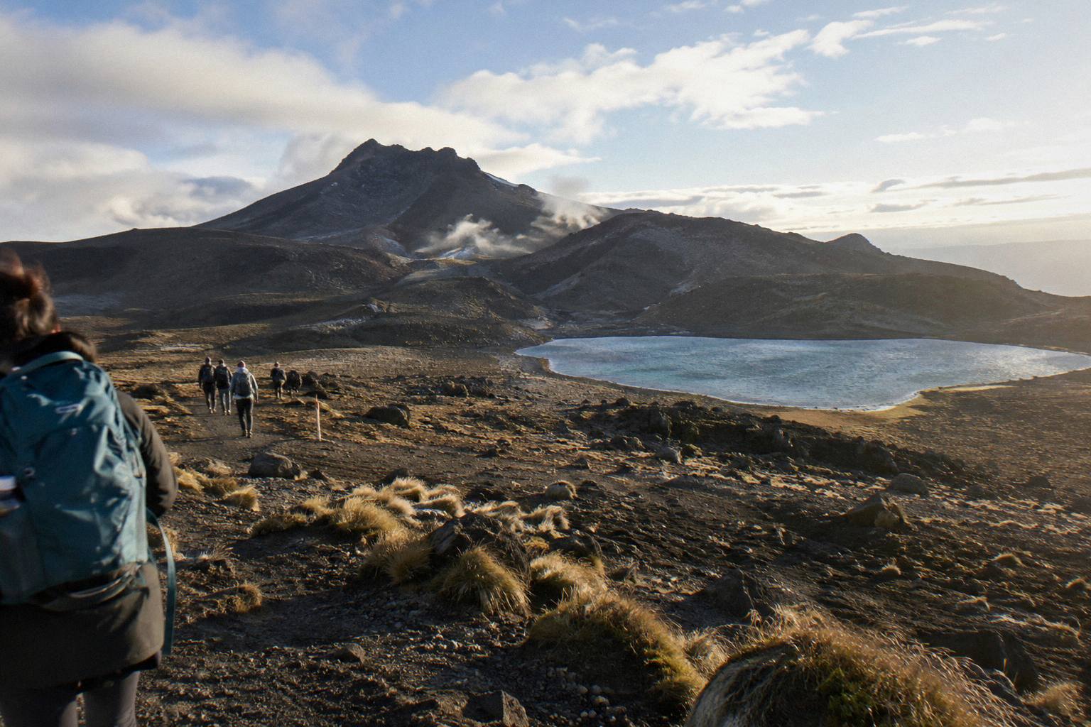
The transition is striking. The Emerald Lakes sit in a bowl of orange and red mineral stains, and the climb out of that basin feels like leaving a furnace. Over the lip, the ground flattens, the colours mute to grey and dun, and Blue Lake appears below on the left, a deep, cold blue against pale volcanic rock. DOC names the lake Waiwhakaata in its track material, and it lies in a depression that holds snow longer into spring than the surrounding ridges.
Walkers heading this way have usually already done the hard climbing. Red Crater at 1886 m is the high point of the day, and Blue Lake sits beyond it, which means the legs get a break here after the flat crossing of Central Crater and before the long sidle toward the Ketetahi descent. That middle stretch, covered in the Central Crater hike after the Emerald Lakes in reverse, is where time either banks up or gets saved depending on the weather.
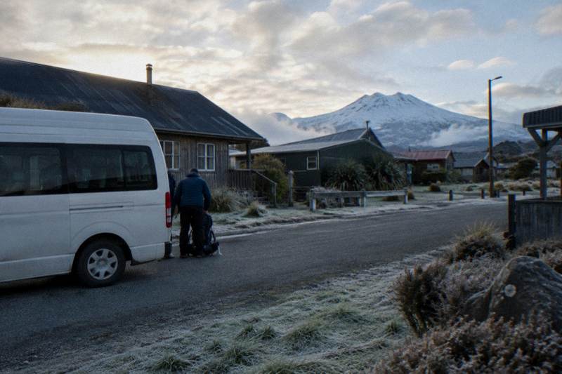
Because this section is part of the full Crossing, most people reach it on a booked day built around transport. A round trip such as the Tongariro Crossing Shuttles service from National Park Village, from NZ$75 per person with free cancellation up to 24 hours before, handles both ends of the walk. A one-way park-and-ride like the Ruapehu Scenic Shuttles Ketetahi option, from NZ$68 per person, also with free cancellation up to 24 hours before, parks your car at the finish and shuttles you to the start so you walk back to it. And a guided day such as the Adrift Tongariro premium guided hike, from NZ$450 per person, puts a guide beside you across the whole ridge, with free cancellation up to 14 days before.
Between the Emerald Lakes and Blue Lake there is one section that surprises people: the track passes a steaming vent and a stretch of warm ground, a reminder that Tongariro is an active volcano. The Te Maari vents nearer the Ketetahi side erupted in 2012, and volcanic alert levels are assessed daily rather than staying fixed. DOC publishes volcanic risk guidance for the park, and the volcanic risk in Tongariro National Park page explains what the alert system means for track access.
How Long Does The Blue Lake Section Take?
Expect 20 to 30 minutes of walking from the Emerald Lakes to the Blue Lake viewpoint in summer, plus photo time, making the full Red Crater to Blue Lake passage with its scree descent and climb out roughly an hour for an average walker. DOC's 7 to 8 hour November to April figure covers the whole 20.2 km track, not this section alone, and in winter the same track becomes a 9 hour expert route.
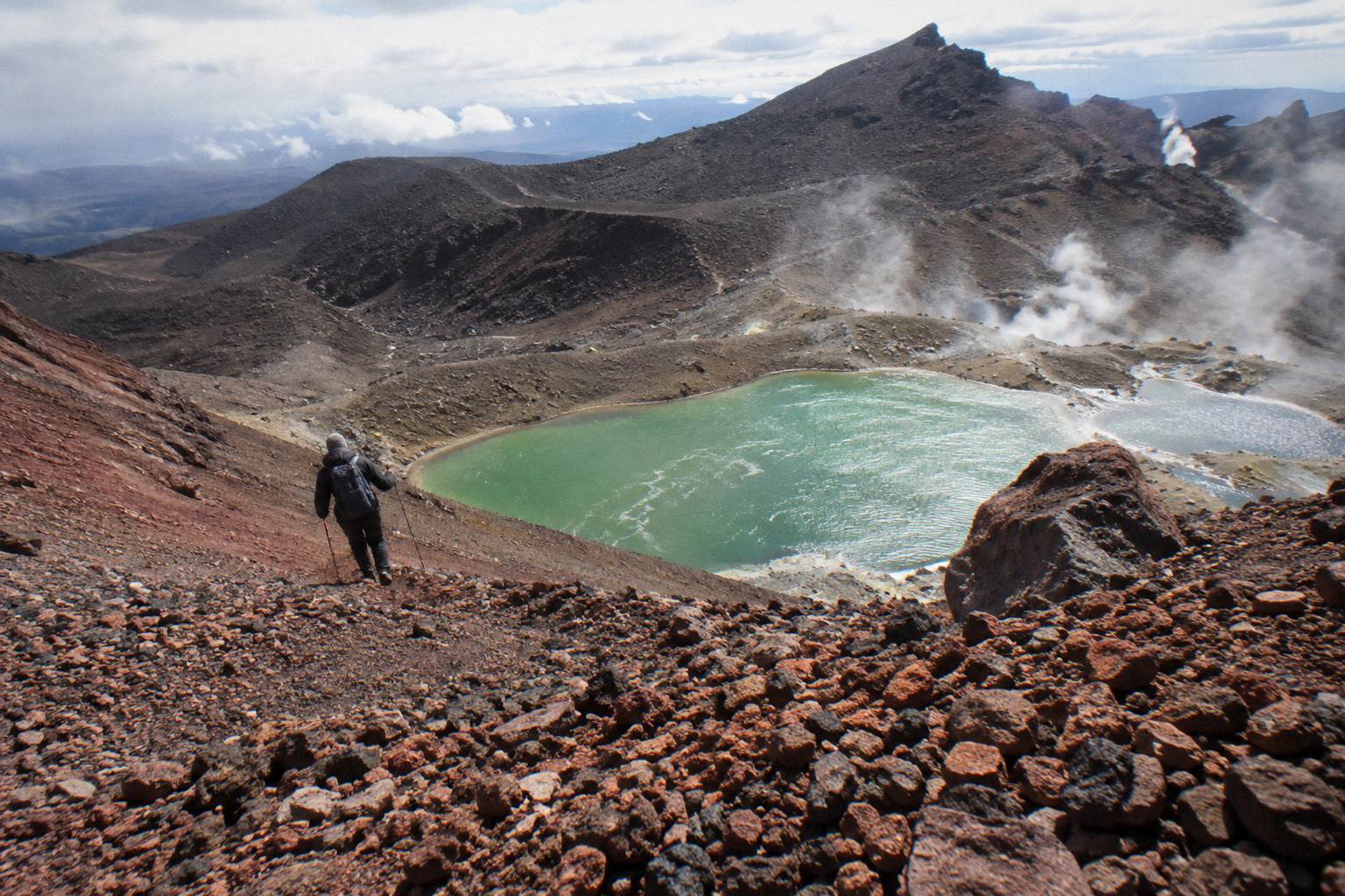
The practical question is where Blue Lake falls in your day. If you start early, as almost everyone does, you reach Red Crater near the middle of the walk, and Blue Lake arrives while the legs are still fresh from the descent. Walkers who start late, or who spend long at the Emerald Lakes, tend to rush this section, which is a shame because the footing is good and the views back over the lakes are some of the best on the track.
| Section of the Crossing | What it involves | Rough share of the day |
|---|---|---|
| Mangatepopo to the Soda Springs | Gentle valley walking on formed track | First hour or so |
| Devil's Staircase to the South Crater | The steepest sustained climb | Varies with fitness |
| South Crater to Red Crater | Gradual then steepening ridge climb | Middle of the day |
| Red Crater descent to the Emerald Lakes | Steep scree, slow going | Slowest per kilometre |
| Emerald Lakes to Blue Lake | Short climb over a ridge, 20 to 30 minutes | Brief |
| Blue Lake to Ketetahi Road | Long sidle and descent through the bush line | Final third |
Two timing notes matter. First, shuttle and tour day lengths you see when booking are total booked durations, not walking time: a 9 hour guided day includes transfers and stops, and DOC's 7 to 8 hour band is the walking figure. Second, an early start is standard practice, and the reasons are covered in the sunrise start on the Crossing guide, but no departure times are published on a fixed timetable you can rely on from here.
If you are weighing transport against the clock, the round-trip option is the one most people pick for a first Crossing. The Tongariro Crossing Shuttles service from National Park Village runs from NZ$75 per person, holds a 4.7 rating across 890 reviews, and carries free cancellation up to 24 hours before, so a forecast change does not strand your money.
Why You Must Not Touch Or Swim In Blue Lake
Blue Lake is sacred to Ngati Hikairo ki Tongariro, and Kaumatua Te Ngaehe Wanikau has asked, through DOC, that visitors respect the maunga tapu by not touching or entering any waterways. That request covers Blue Lake just as it covers the Emerald Lakes, so there is no swimming, no wading, no filling bottles and no dipping hands, no matter how warm the day is.
The mountains of Tongariro National Park are sacred to Ngati Hikairo ki Tongariro of Ngati Tuwharetoa, and the park itself, New Zealand's oldest, was established in 1894 and later became a dual World Heritage area for both its natural and cultural values. The no-touching request is printed in DOC's own track guidance, which is the wording this site passes on rather than paraphrasing into something softer.
Practically, the track helps you comply. It passes above and beside the lake rather than down to a beach, and there is no obvious access point inviting a swim. The handful of spots where walkers could scramble closer are worn and loose, and the water is glacially cold for most of the year. The fuller discussion of the request, including how it applies to the Emerald Lakes, sits in the swimming in the Emerald Lakes guide.
There is a second, quieter reason to keep distance. The alpine lakes are fragile thermal features in an active volcanic landscape, and DOC's guidance for the whole Crossing asks visitors to stay on the marked track. Erosion around lakeshores in popular alpine parks recovers slowly, and Blue Lake sees enough foot traffic without new social paths forming around its basin.
Guided Tours And Shuttles That Pass Blue Lake
Every full-Crossing product on this site passes Blue Lake, because the lake sits on the track itself, so your real choice is between a guided hike and a shuttle, and between where you start the day. Adrift Tongariro runs the three guided tours, all departing National Park Village at 53 Carroll Street, while shuttles run from National Park Village, Ketetahi car park, Taupo, Turangi and Ohakune. Six of the seventeen tours here depart from the Ketetahi car park alone.
The guided option suits walkers who want interpretation and equipment support. The Adrift Tongariro premium guided hike runs 8 to 9 hours as a booked day, is rated 4.6 across 242 reviews, costs from NZ$450 per person, carries free cancellation up to 14 days before, and supplies crampons and ice axes for winter conditions if required. Lunch is not included, so bring your own. The Adrift Tongariro private guided Crossing, rated 4.5 across 30 reviews, covers the same track as a private group, and the Adrift full-day guided Crossing, rated 4.7 across 278 reviews, rounds out the three. All three reach the Emerald Lakes and Blue Lake with a guide.
| Tour | Type | Departs | Rating and reviews |
|---|---|---|---|
| Tongariro Crossing Shuttles round trip | Shuttle, return | National Park Village | 4.7 across 890 reviews |
| Ruapehu Scenic Shuttles Ketetahi park-and-ride | Shuttle, one way | Ketetahi car park | 4.8 across 670 reviews |
| Adrift Tongariro premium guided hike | Guided hike | National Park Village | 4.6 across 242 reviews |
| Dempsey Buses return bus | Shuttle, return | National Park Village | 4.8 across 72 reviews |
| Tongariro Expeditions shuttle from Taupo or Turangi | Shuttle with transfers | Taupo or Turangi | 4.7 across 431 reviews |
| Adrift Tongariro private guided Crossing | Guided private walk | National Park Village | 4.5 across 30 reviews |
From Taupo or Turangi, the Tongariro Expeditions Crossing shuttle runs a booked day of 8 to 10 hours, is rated 4.7 across 431 reviews, and costs from NZ$75 per person with free cancellation up to 24 hours before. From Ohakune, the Dempsey Buses return shuttle covers the day with free cancellation up to 24 hours before. Not every departure point has a guided option: there is no Taupo-based guided day trip, so Taupo walkers choosing a guide join an Adrift departure from National Park Village, with pickups at Taupo, Turangi or Whakapapa available at a surcharge on the premium private option.
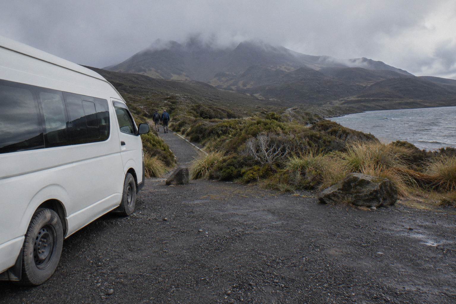
The Dempsey Buses return bus from National Park Village, from NZ$90 per person and rated 4.8 across 72 reviews, also carries free cancellation up to 24 hours before and excludes children under 6, a reminder that age limits are per tour rather than park-wide. DOC advises the track is not recommended for children under 10.
Parking, Bookings And The Summer Rules That Shape The Day
From Labour weekend in late October until 30 April, the summer rules reshape the day: parking at the Crossing road ends is capped at 4 hours, while the walk takes 7 to 8 hours, so DOC advises booking a shuttle. Crossing walkers get no summer parking at Mangatepopo, a private car park operates near Ketetahi, and the free DOC booking is recommended and required if you book a shuttle or guided trip.
The booking system is the piece people miss. It costs nothing, DOC recommends it for every walker, and shuttle and guided products tie into it, so the practical order of planning is transport first, booking second, weather check third. The DOC booking system page explains how it works. DOC also notes that part of a shuttle fee, about NZ$40, goes toward conservation in the park, which is one reason shuttle prices are more than a simple bus fare.
For winter planning the picture changes completely. DOC says shuttle buses generally do not operate from May to late October, while guided trips include transport. That makes a guided day the default winter route to Blue Lake, and the winter page covers the snow and ice side in depth at winter on the Crossing. A private guided walk such as the Adrift Tongariro private guided Crossing, which runs 7 to 9 hours as a booked day and departs 53 Carroll Street, is one way to hold a winter date with a guide; it is non-refundable, so the booking page terms matter before you commit.
Winter, Weather And How Blue Lake Changes With The Seasons
From May to October DOC regrades the Crossing from an intermediate tramping track to an expert route because of snow, ice, avalanche risk and sub-zero temperatures, stating alpine skills are essential and a guide is best. In those months Blue Lake usually freezes at the edges or fully and the ridges either side hold snow, while in summer the lake is ice free and the section is a straightforward walk.
The weather call is not yours alone to make. Guided operators and shuttles run only when DOC's advisory and the forecast allow, and DOC assesses conditions each morning, so write every plan as conditions allowing rather than as a promise. The structural facts are stable: wind exposure on the ridge above Blue Lake is the main hazard in both seasons, the NIWA advisory and the Red Crater forecast exist specifically because plateau weather turns fast, and the alerts to watch are DOC's Tongariro page, GeoNet for volcanic activity, and the avalanche advisory in winter.
Season also changes what the lake looks like. Late spring snowmelt lifts the basin's colours, mid-summer dries the surrounding plains to ochre, and autumn brings the first ice skins on quiet mornings. Photographers planning shots around the light will find more in photographing the Emerald Lakes, since the same light that works on the Emerald Lakes works on the ridge above Blue Lake a few minutes later.
If DOC posts a poor-conditions day, the listed alternatives inside the park are the Taranaki Falls and Tama Lakes walks, both of which stay lower and avoid the alpine ridge entirely.
What Trips People Up On The Blue Lake Section
The mistakes that catch people out here are treating the Emerald Lakes stop as the finish line, running out of food and water before Ketetahi, underestimating the wind on the exposed ridge above the lake, touching or entering the water despite the cultural request, and misreading shuttle day lengths as walking time. None are dramatic on a fine summer day, yet together they cause most of the slow, cold finishes on this eastern half of the track.
| Mistake | Why it bites | Better habit |
|---|---|---|
| Treating the Emerald Lakes as the goal | Two thirds of the track still remains, mostly downhill but long | Budget food and water for the whole 20.2 km |
| Skimping on layers for this ridge | The climb after the lakes is fully exposed to wind | Carry a windproof layer even on a calm morning |
| Approaching the waterline | The lakes are covered by the no-touching request | Stay on the track and photograph from above |
| Reading booked duration as walking time | Operator day lengths include transfers and stops | Plan against DOC's 7 to 8 hour band |
| Assuming a shuttle runs in winter | DOC says shuttle buses generally stop May to late October | Book a guided trip that includes transport |
One more planning detail: the Tongariro Expeditions Ketetahi park-and-ride, rated 4.3 across 106 reviews with free cancellation up to 24 hours before, is a one-way option, meaning you park at Ketetahi, ride to the start and walk back to your car. It is not a return, and it is not guided, and mixing those up strands people at the wrong road end. The same applies across the six Ketetahi park-and-ride products: they are one-way shuttles by design.
A final word on footwear and clothing, since the ridge above Blue Lake is where thin shoes start to hurt. The track here is stony rather than steep, and DOC's summer grading as an intermediate tramping track assumes proper footwear. The what to wear hiking to the Emerald Lakes guide breaks the clothing question down season by season, and it applies equally to this stretch of the same walk.
Common Questions About Blue Lake On The Tongariro Crossing
Can You Swim In Blue Lake On The Tongariro Crossing?
No. DOC passes on a request from Kaumatua Te Ngaehe Wanikau of Ngati Hikairo ki Tongariro that visitors respect the maunga tapu by not touching or entering any of the waterways, including the alpine lakes. That covers swimming, wading and touching the water at Blue Lake.
How Far Is Blue Lake From The Emerald Lakes?
The track climbs about 20 to 30 minutes from the Emerald Lakes over a low volcanic ridge to the western side of Blue Lake. It is one of the shorter climbs on the Crossing, on dirt and loose stone rather than the deep scree of the Red Crater descent before it.
Is Blue Lake Before Or After Red Crater?
After. Walking the standard Mangatepopo to Ketetahi direction, you cross Red Crater at 1886 m, descend steep scree to the Emerald Lakes, then climb briefly over a ridge to Blue Lake before the long traverse toward the Ketetahi finish.
Do Guided Tours Stop At Blue Lake?
Every full-Crossing guided tour passes Blue Lake because the lake sits on the track itself. The Adrift Tongariro guided tours, departing National Park Village at 53 Carroll Street, walk the full track with a guide, and crampons and ice axes are supplied for winter conditions if required.
What Is The Maori Name For Blue Lake?
DOC's track material names it Waiwhakaata. The lake is part of a landscape sacred to Ngati Hikairo ki Tongariro of Ngati Tuwharetoa, which is the basis for the request that visitors do not touch or enter the water.
Do You Need A Shuttle To See Blue Lake?
In summer, parking at the road ends is limited to 4 hours from Labour weekend to 30 April, and DOC suggests booking a shuttle since the walk takes 7 to 8 hours. In winter, DOC says shuttle buses generally do not operate from May to late October, while guided trips include transport.
Keep reading: the red crater guide for the climb before the lakes, the Blue Lake colour and landscape detail in the Emerald Lakes colours guide, and the best month to hike for timing the whole day.
For everything else on the route, the maps, the lakes, the shuttles and the seasons, start back at Tongariro Emerald Lakes Hike and work outward from there.