Mount Ngauruhoe Summit Side Trip From The Crossing: Rules And Risks
Mount Ngauruhoe towers over the middle of the Tongariro Alpine Crossing, and every summer a few walkers look up from Red Crater and wonder about the summit. Here is what the rules, the risks and the bookable tours actually say.
Short answer
The Mount Ngauruhoe summit is not part of the Tongariro Alpine Crossing, no tour on this site climbs it, and the summit is not part of the marked Crossing and no marked track reaches it. The Crossing itself is 20.2 km one way with 7 to 8 hours of walking from November to April. Guided crossings from NZ$450 and shuttles from NZ$68 all stay on the marked track.
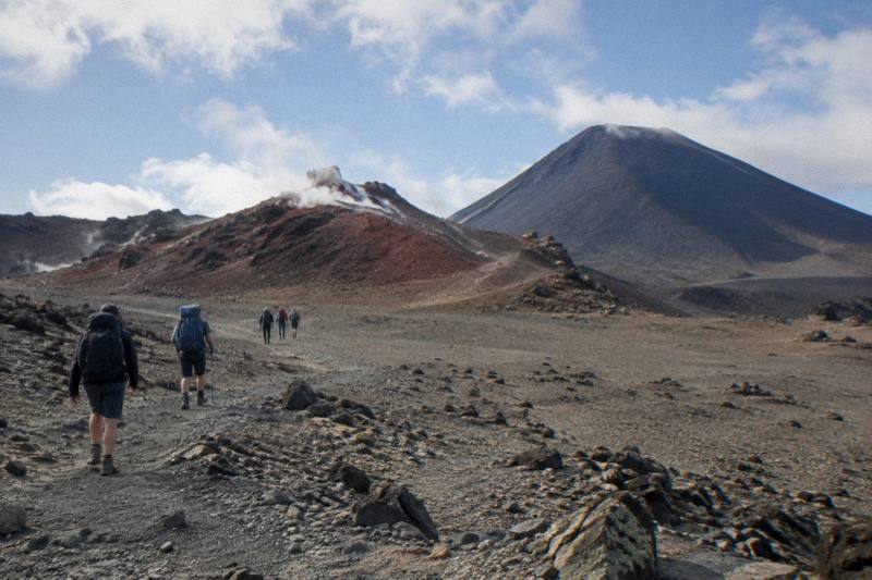
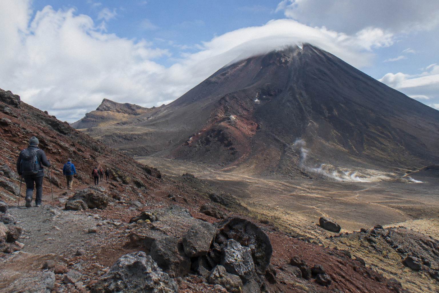
The cone of Mount Ngauruhoe stands directly beside the Tongariro Alpine Crossing between the South Crater and Red Crater, close enough that walkers on the Devils Staircase can see scoria sliding off its flanks on a windy day. Its popularity as a nickname, Mount Doom, owes everything to the Mordor look of the landscape, and nothing to any filming claim this site would make. The question this page answers is narrower and more practical: can you climb it as a side trip from the Crossing, what do the rules say, and what can you actually book?
Start with the wider picture: Tongariro Emerald Lakes Hike covers the whole Emerald Lakes day, from shuttles and start points to what the climb demands.
Is The Mount Ngauruhoe Summit Part Of The Tongariro Crossing?
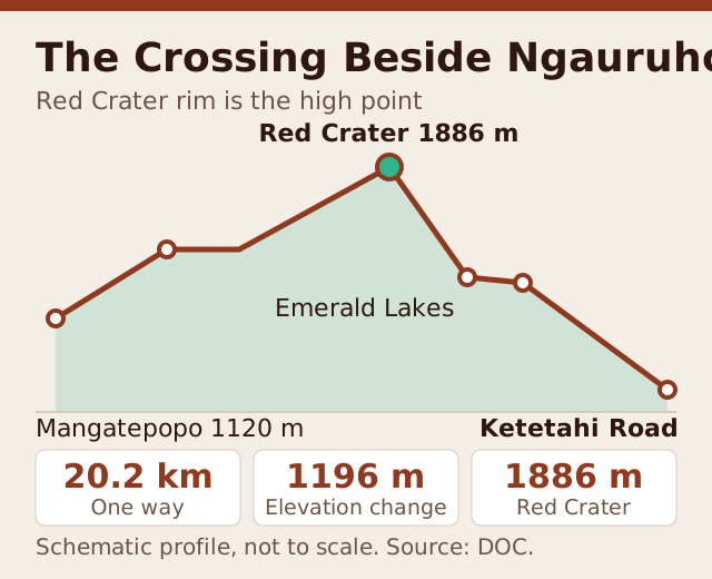
No. The marked Tongariro Alpine Crossing track passes beside the mountain and over Red Crater at 1886 m, but it never reaches the Ngauruhoe summit, and no marked track does. DOC describes the Crossing as a 20.2 km one-way intermediate tramping track with a High fitness grading in summer, and as an Expert route from May to October. The summit is a separate, unmarked alpine undertaking.
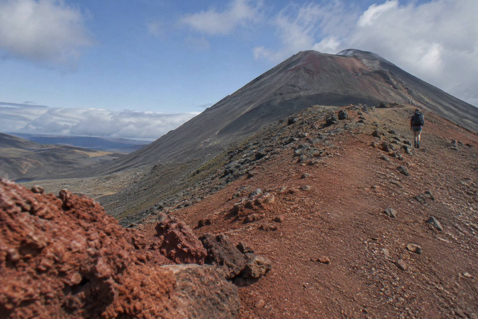
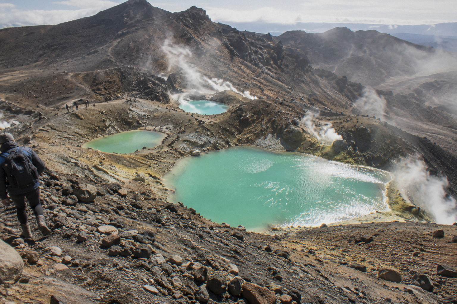
The Crossing track climbs the Devils Staircase out of South Crater, traverses the shoulder below the mountain, and tops out at Red Crater, the high point of the whole walk at 1886 m. From there DOC's own track description notes a steep scree descent to the vivid Nga Rotopounamu, the Emerald Lakes. That is the route everyone books a shuttle or a guide for, and it is the route the Emerald Lakes sit on. The mountain itself rises to the west of this line, and leaving the track for its slopes is a decision DOC treats as leaving the track entirely.
That framing matters for planning. The DOC Tongariro Alpine Crossing page grades the walk itself High fitness, 7 to 8 hours November to April, 9 hours May to October, with an Expert designation and a recommendation to go with a guide outside summer. An unmarked summit route on top of that is a different proposition again, and DOC's volcanic-risk guidance for the park covers the whole massif, not just the marked track. Readers deciding between a crossing with a guide and a crossing without one can compare the two properly in the guide worth it question for the Emerald Lakes section.
For anyone whose real goal is simply to stand close to the mountain and see the Mordor look with their own eyes, the Crossing delivers that without leaving the track. The shoulder between South Crater and Red Crater is the nearest the marked route comes to Ngauruhoe, and the Red Crater section of the hike gives the fullest picture of that high volcanic terrain.
What Are The Rules For Climbing Ngauruhoe From The Crossing?
There is no flat ban on climbing Ngauruhoe from the Crossing: DOC's rules turn on status and conditions. The mountain is tapu, sacred to Ngati Hikairo ki Tongariro of Ngati Tuwharetoa, and visitors are asked to respect the maunga by not touching or entering waterways, including the alpine lakes; off the marked track DOC treats the summit as a genuine alpine route requiring skills and equipment, and from May to October alpine skills are essential, with a guide best.
Three layers of rule sit on this mountain. The first is cultural. Tongariro National Park is a dual World Heritage area, New Zealand's oldest national park, established in 1894, and its mountains are sacred to Ngati Hikairo ki Tongariro of Ngati Tuwharetoa. DOC passes on the kaumatua Te Ngaehe Wanikau's request that visitors respect the maunga tapu by not touching or entering any of the waterways including the alpine lakes. That request shapes the day for everyone on the Crossing, summit ambitions or not: no swimming in, or even touching, the Emerald Lakes or the Blue Lake.
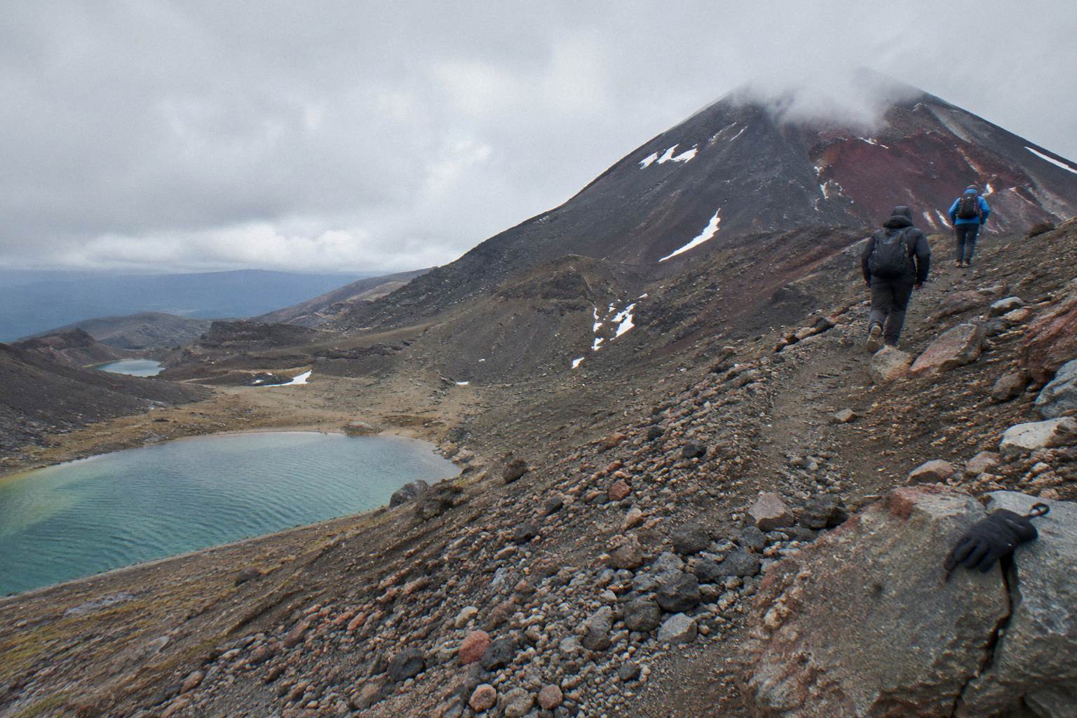
The second layer is track status. The marked Crossing is an intermediate tramping track in summer. Anything off it, including the mountain's flanks, is off-track alpine terrain: loose scoria, rockfall, no markers, no easy exit. From May to October DOC re-grades the entire route Expert, with snow, ice, avalanche risk and sub-zero temperatures, and its guidance is blunt that alpine skills are essential and a guide is best. The winter snow conditions on the Crossing page covers what that season does to the track itself.
The third layer is volcanic. Tongariro is an active volcano, its Te Maari vents erupted in 2012, and volcanic alert levels are assessed daily by GeoNet. Operators, guided or shuttle, are bound by DOC rules not to run on hazardous-weather-warning days, and conditions decide whether the track itself is walkable on any given morning. Check the DOC alerts page and GeoNet before any summit ambition, and treat a hazardous-weather day as a no for everything above the saddle.
| Rule layer | What applies | Who it binds |
|---|---|---|
| Cultural request | Do not touch or enter any waterways, including the Emerald Lakes and Blue Lake | Every visitor |
| Track status | Marked Crossing is intermediate in summer, Expert from May to October | Every visitor |
| Off-track terrain | The summit has no marked route; no marked track reaches it | Independent walkers |
| Weather triggers | Operators do not run on DOC hazardous-weather-warning days | All operators |
| Volcanic status | Alert levels change daily; check GeoNet before you go | Every visitor |
Why No Tour On This Site Climbs The Mount Ngauruhoe Summit?
No tour or shuttle on this site climbs the Mount Ngauruhoe summit because the summit is not part of the marked Crossing and no marked track reaches it, so every product stays on the marked Crossing by design: Adrift Tongariro's three guided tours are all Crossing walks passing the Emerald Lakes, and the fourteen shuttle and transfer products simply move self-guided walkers between the road ends.
That leaves a clear choice for a reader drawn to the mountain. If the appeal is standing on the shoulder of Mount Doom, looking down the Mordor-scorched slopes toward the Emerald Lakes, then the full Crossing delivers it, guided or not. The Adrift Tongariro premium guided hike, rated 4.6 across 242 reviews, from NZ$450 per person with free cancellation up to 14 days before, is the most reviewed guided option here and includes the base transfers from National Park Village. The Adrift Tongariro full-day guided Crossing, rated 4.7 across 278 reviews, covers the same track as a group walk; the price is on the booking page. Both stay on the track, both reach the Emerald Lakes, and neither detours upward.
The third guided product, the Adrift Tongariro private guided Crossing, rated 4.5 across 30 reviews, takes one party over the same ground privately. It is non-refundable, and the price is on the booking page. Like the other two Adrift tours it supplies crampons and ice axes for winter conditions if required, and excludes lunch, so walkers bring their own. Anyone weighing the private option against the group walks should read the private guided hike comparison before deciding.
On the shuttle side, nothing changes about the route: the mountain stays beside you and the track stays underfoot. The Tongariro Crossing Shuttles round-trip from National Park Village, rated 4.7 across 890 reviews, from NZ$75 per person with free cancellation up to 24 hours before, is the most reviewed tour on this site, a plain return shuttle rather than a guided walk. It moves self-guided walkers between the village and the track ends, conditions allowing, and the walking is entirely the walker's own.
How Dangerous Is The Ngauruhoe Summit Compared With The Crossing Itself?
They are not comparable: the Ngauruhoe summit is far more dangerous than the Crossing itself. The summer Crossing is an intermediate tramping track graded High for fitness and walked by tens of thousands each season, while the summit slope is unmarked, steeply loose scoria with rockfall hazard, no escape routes and no water, and winter adds snow, ice and avalanche risk, which is why DOC calls for alpine skills and a guide even for the track.
The numbers that describe the Crossing describe a big day, not a technical one: 20.2 km one way, plus and minus 1196 m of elevation change, a high point of 1886 m at Red Crater, 7 to 8 hours of walking in the November to April season. The hardest marked sections are the Devils Staircase and the scorie descent from Red Crater to the Emerald Lakes, both of which are steep but track-marked and well walked. Preparation advice for those sections is in the fitness preparation for the Emerald Lakes climb guide.
Above the track, everything that makes the Crossing manageable disappears. There is no marked line, no formed surface, no shelter, and the scoria that gives the mountain its dramatic colour moves underfoot and sends stones down onto anyone below. Rockfall from other parties is a real hazard on the cone. In the May to October window, DOC's winter picture, sub-zero temperatures, snow, ice and avalanche risk, applies to the whole massif, and the agency's own winter essentials list for independent trips includes crampons, ice axe, helmet, avalanche gear and the competency to use them. The only products that supply any of that are the three Adrift guided tours, which carry crampons and ice axes for winter conditions if required, and they stay on the Crossing.
Weather multiplies every one of these risks, and it is assessed each morning. Wind above the saddle, cloud on the cone, or a DOC hazardous-weather advisory ends the day for operators and should end it for independent walkers too. The weather above the Emerald Lakes guide explains what triggers an advisory and where the official forecasts live, including the NIWA advisory and the MetService mountain forecast.
What Do You Actually See Of Ngauruhoe From The Crossing Track?
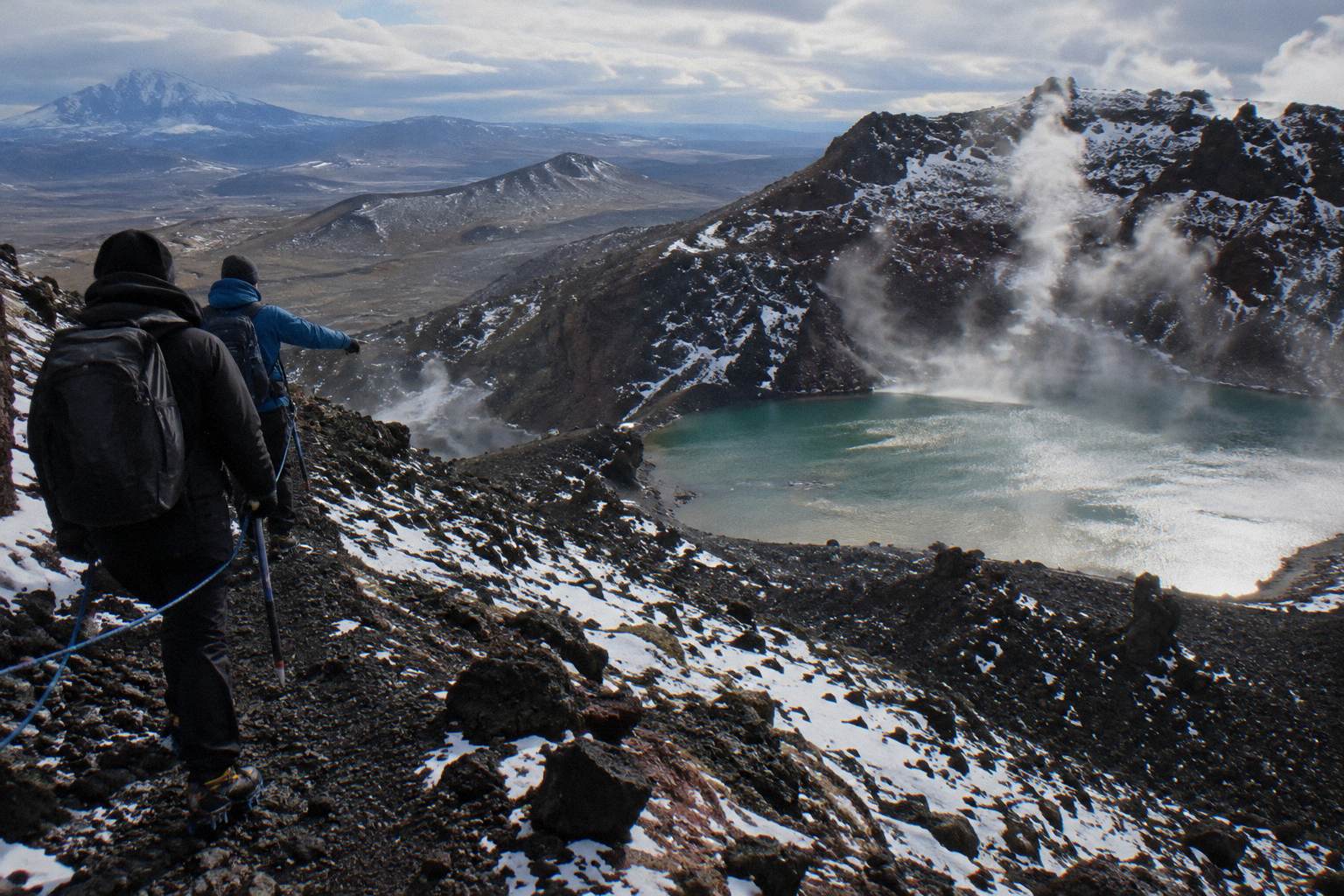
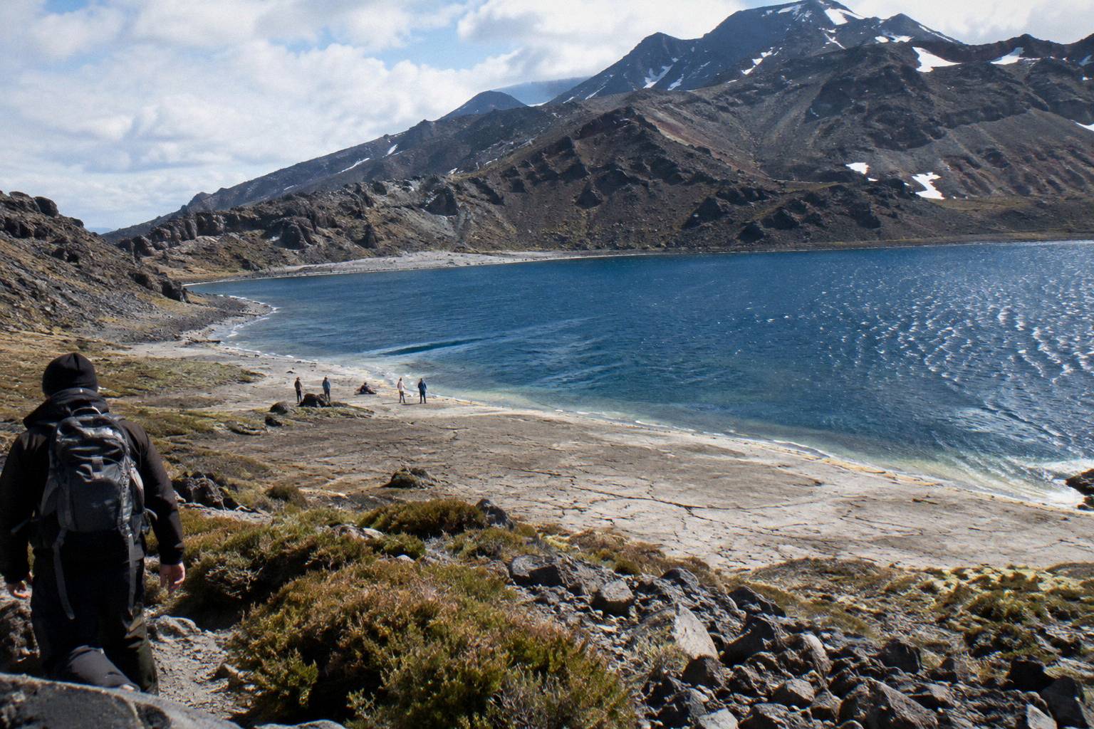
Plenty, and for most visitors it is the signature view of the day. The track climbs the Devils Staircase with the cone filling the western sky, crosses South Crater directly beneath it, and then runs along the shoulder toward Red Crater, the nearest the marked route comes to the mountain. From Red Crater's rim the whole volcanic ensemble opens: the Emerald Lakes immediately below in their crater basins, the Blue Lake ahead, and Ngauruhoe's scoria slopes behind you.
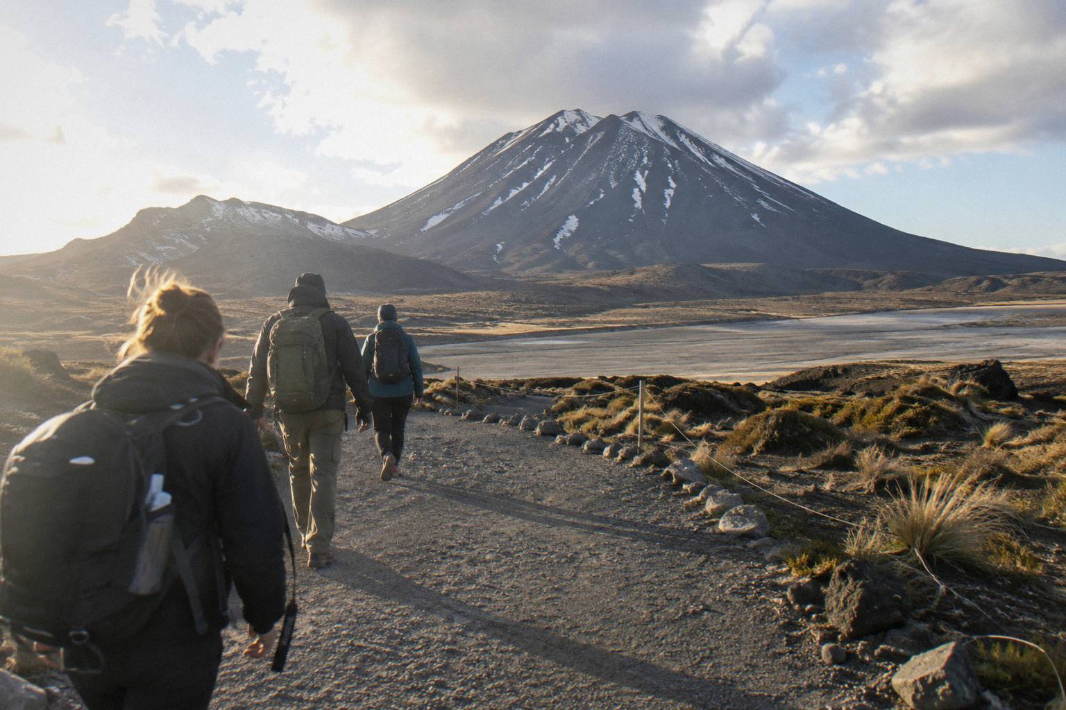
The staging of the views is worth knowing before the day. South Crater is a flat, otherworldly basin that walkers cross with the mountain dead ahead; on a still morning the photographs from here are the ones most people come home with. The climb from its far edge to Red Crater is short but steep, and the payoff at the top is immediate: DOC's track description calls out the vivid Nga Rotopounamu, the Emerald Lakes, reached by a steep scree descent from the crater rim. Photographers planning the sequence will find shot-by-shot advice in the photographing the Emerald Lakes guide, and the story of why the lakes hold their colour is covered separately in what makes the lakes emerald.
The Blue Lake, farther along the track, sits above the Emerald Lakes on the far side of Red Crater and rounds out the volcanic set. The cultural request applies to it too: it is one of the waterways visitors are asked not to touch or enter. What the whole high section looks like hour by hour is laid out in the Emerald Lakes on the Tongariro Crossing overview.
Which Shuttles And Tours Fit A Ngauruhoe-View Day Best?
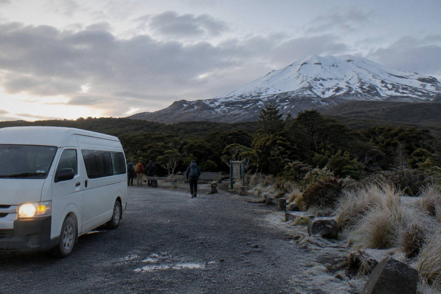
Any full Crossing walk gives you the Ngauruhoe shoulder views, so choose by your base, guiding, and budget. From National Park Village, take Adrift Tongariro's three guided tours or a self-guided return shuttle from NZ$75; from Taupo or Turangi, the Tongariro Expeditions shuttle runs from NZ$75 per person; and from Ketetahi, six park-and-ride operators, from NZ$68 per person with Ruapehu Scenic Shuttles, let you park at the finish and walk back to your car.
The departure point decides most of it. DOC's own distances frame the region: National Park 13.5 km from the track, Whakapapa 10.4 km, Turangi 36.7 km, Ohakune 48 km, Taupo 86.5 km. Auckland is a long way, and the only products built for it are a private two-day transfer and a private three-day tour, both with the Crossing walked self-guided.
| Product | Type | Departs | Rating | Price per person |
|---|---|---|---|---|
| Adrift Tongariro premium guided hike | Guided group Crossing | National Park Village | 4.6 from 242 reviews | from NZ$450 |
| Adrift Tongariro full-day guided Crossing | Guided group Crossing | National Park Village | 4.7 from 278 reviews | price on the booking page |
| Tongariro Crossing Shuttles round trip | Return shuttle | National Park Village | 4.7 from 890 reviews | from NZ$75 |
| Dempsey Buses return bus | Return shuttle | National Park Village | 4.8 from 72 reviews | from NZ$90 |
| Tongariro Expeditions Taupo or Turangi shuttle | Shuttle with transfers | Taupo, Turangi or Ketetahi | 4.7 from 431 reviews | from NZ$75 |
| Ruapehu Scenic Shuttles Ketetahi park-and-ride | One-way shuttle | Ketetahi car park | 4.8 from 670 reviews | from NZ$68 |
Taupo-based readers should know there is no Taupo-based guided day trip, so the honest pattern is a shuttle north and a self-guided walk, which the Taupo to the Emerald Lakes day plan walks through. The Tongariro Expeditions Crossing shuttle from Taupo or Turangi, rated 4.7 across 431 reviews, from NZ$75 per person with free cancellation up to 24 hours before, is the mainstay of that plan, an 8 to 10 hour booked day in total.
Parking is its own decision. From Labour weekend in late October through to 30 April, a 4 hour maximum applies at the road ends and DOC suggests booking a shuttle; DOC also says there is no parking for Crossing walkers at Mangatepopo car park in summer, with a private car park near Ketetahi. That is what makes the Ketetahi park-and-ride model work: the Ruapehu Scenic Shuttles Ketetahi park-and-ride, rated 4.8 across 670 reviews, from NZ$68 per person with free cancellation up to 24 hours before, is a one-way shuttle with no return leg, you park at Ketetahi, ride to Mangatepopo, and walk the Crossing back to your own car. The trade-offs are laid out in the Ketetahi finish after the Emerald Lakes guide.
What Does A Summit Ambition Cost You In Time And Season?
A summit attempt costs you more than a day: DOC budgets 7 to 8 hours for the marked Crossing from November to April and 9 hours from May to October, covering 20.2 km with 1196 m of up and down, and even the guided Adrift premium hike runs 8 to 9 hours door to door, so adding an unmarked climb with no printable route description pushes the arithmetic well past a day walk.
Season sharpens the point. The summer window, November to April, is when the track is an intermediate tramping track and shuttles run to the road ends; DOC notes shuttle buses generally do not operate in winter, May to late October, while guided trips include transport. Winter daylight on the plateau runs 9 to 11 hours by DOC's own figure, against a 9 hour track time, before any off-track ambition is added. The month-by-month trade-offs are compared in the best month to hike to the Emerald Lakes.
Booking itself is cheap and DOC recommends it: the DOC booking system is free and is needed for shuttle and guided products. The full cost picture, including what DOC says about the conservation share of shuttle fees, is in the honest answer to what the Crossing costs.
What Mistakes Trip Up Walkers With Ngauruhoe On Their Mind?
The recurring mistakes are treating the summit as a casual add-on, underestimating the marked Crossing itself, ignoring the parking rules, and forgetting the cultural request at the lakes. People read that the Crossing is a walked track, picture a short detour up a nearby cone, and arrive with neither the time margin nor the equipment for off-track terrain, on a 20.2 km day that DOC already grades High fitness with 7 to 8 hours of summer walking.
The first mistake is the summit-as-add-on mindset. The marked track is the product: every guided tour and every shuttle on this site exists to put walkers on it, and the guide-to-shuttle decision is covered in whether you need a guide for the Crossing. An unmarked climb above it is a separate alpine objective that belongs to experienced, equipped, independent parties who have read the DOC volcanic risk guidance and checked GeoNet.
The second is fitness and gear drift. The Crossing in winter demands DOC's own winter essentials list for independent trips, and the only tours supplying crampons and ice axes are the three Adrift guided walks, which stay on the track anyway. Boot and clothing choices are covered in whether hiking boots are needed and the what to wear guide.
The third is logistics. Summer parking at the road ends is capped at 4 hours and DOC says there is no Crossing parking at Mangatepopo in summer, so driving yourself to the start is not a plan; the shuttle decision is covered in the shuttle planning guide. The fourth is the lakes themselves: the request not to touch or enter any waterways catches visitors who assumed a quick dip was harmless, and the reasoning is set out in whether you can swim in the Emerald Lakes.
| Mistake | What goes wrong | The fix |
|---|---|---|
| Treating the summit as a detour | No time margin on a 7 to 8 hour track day | Walk the marked Crossing; leave the mountain to equipped parties |
| Driving to Mangatepopo in summer | 4 hour parking cap, no Crossing parking there | Book a shuttle or a Ketetahi park-and-ride |
| Touching or entering the lakes | Breaks the cultural request DOC passes on | View and photograph only |
| Ignoring the seasonal grading | Expert route, snow and ice from May to October | Go in summer, or take a guided tour |
| Skipping the DOC booking | Recommended, and needed for shuttles and guides | Book the free DOC system, then the tour |
Common Questions About The Mount Ngauruhoe Side Trip
Is The Mount Ngauruhoe Summit Part Of The Tongariro Alpine Crossing?
No. The marked track passes beside the mountain and tops out at Red Crater, 1886 m, but no marked track goes to the summit. Every tour and shuttle sold on this site stays on the marked Crossing.
Can You Book A Guided Mount Ngauruhoe Summit Climb?
No product on this site climbs the summit. Adrift Tongariro runs the three guided tours, all full or private crossings of the marked track, and the shuttle operators move self-guided walkers between road ends. The summit is an independent alpine objective.
What Do The Rules Say About Climbing Ngauruhoe?
The summit is not part of the marked Crossing and no marked track reaches it, and from May to October the whole route is an Expert grading with the advice that it is best to go with a guide. The printable cultural request is that visitors do not touch or enter any of the waterways, including the alpine lakes.
Is The Mount Ngauruhoe Summit Dangerous?
The summit slope is unmarked, loose scoria with rockfall hazard, no escape routes and no water, and in winter it adds snow, ice and avalanche risk. It is not comparable to the marked Crossing, which DOC rates High fitness and 7 to 8 hours in summer. Check the DOC alerts page and GeoNet before any high-level plan.
Where Is The Best View Of Mount Ngauruhoe On The Crossing?
South Crater and the shoulder climb toward Red Crater. The track crosses South Crater directly beneath the cone, then reaches its high point at Red Crater at 1886 m, where the Emerald Lakes sit immediately below in their crater basins.
Which Tour Should I Book If I Just Want To See Ngauruhoe And The Emerald Lakes?
Any full Crossing product does it. Guided, the Adrift Tongariro premium guided hike runs from NZ$450 per person, rated 4.6 across 242 reviews. Self-guided, return shuttles from National Park Village start at from NZ$75 per person, and the Ruapehu Scenic Shuttles Ketetahi park-and-ride runs from NZ$68.