What Is The Toughest Hike In New Zealand?
New Zealand has harder tracks than the Tongariro Alpine Crossing, but few combine volcanic terrain, alpine exposure and 20.2 km in one day. Here is how tough each one really is.
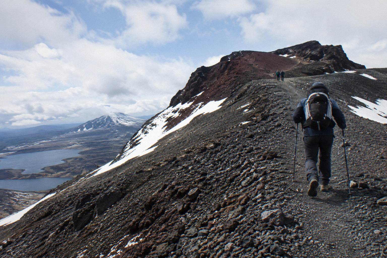
Ask ten trampers to name the toughest hike in New Zealand and you will get ten answers, because toughness means different things on different tracks. By the numbers that matter to a first-time visitor, the Tongariro Alpine Crossing is the hardest day walk most people will ever sign up for: 20.2 km one way, an elevation change of plus and minus 1196 metres, a high point of 1886 metres at Red Crater, and a DOC fitness grading of High. The Department of Conservation classes it as an intermediate tramping track from November to April and an Expert route from May to October, when alpine skills are essential and DOC says it is best to go with a guide.
That is a serious profile for something marketed as a day trip. But the genuinely toughest tracks in New Zealand, the ones that break experienced trampers, are multi-day expeditions: routes above the bushline with no track at all, river crossings that stop parties for days, and weather windows measured in hours. This article separates the two, then gets practical about the hardest walk you can actually book, the Crossing, and how Adrift Tongariro's guided tours and the shuttle network around National Park Village, Ketetahi, Taupo and Turangi let you take it on with support.
There is no single official title, but the strongest candidates split into two groups: multi-day alpine routes such as the Dusky Track in Fiordland, which most trampers never attempt, and the Tongariro Alpine Crossing, which DOC grades High for fitness and, from May to October, classes as an Expert route. For a day walk that ordinary travellers can actually book, the Crossing is the toughest widely available challenge in the country.
The Dusky Track in Fiordland is the name that comes up again and again in serious tramping circles. It is a multi-day slog through mud to the knees, three-wire bridges and sandfly country, and it routinely takes parties longer than they planned. Other names in that conversation include the Five Passes route in Fiordland and sections of the Waiau Toa, all of them remote, unmarked in places, and demanding multiday competence with river crossings and navigation. These are tracks where the Department of Conservation's own notes warn of unbridged rivers and where parties turn back regularly. Nobody books these on a holiday whim.
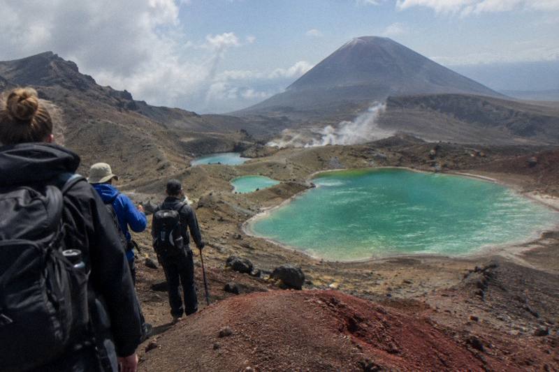
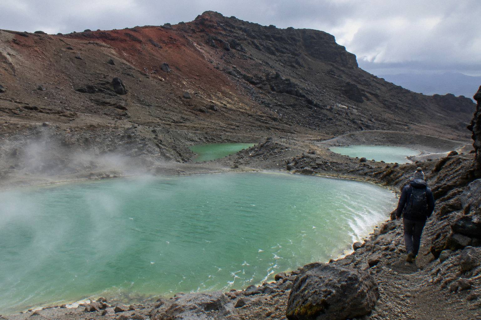
The Tongariro Alpine Crossing sits in a different category entirely, and that is what makes it interesting. It is a day walk, served by shuttle operators and guided tours, that nonetheless carries a High fitness grading and a 7 to 8 hour walking time from November to April, stretching to 9 hours from May to October. The length is 20.2 km one way. The terrain is volcanic scoria, scree and exposed ridge, not forest path. The weather can turn from sun to horizontal rain to snow inside a single morning. DOC's track page describes the steep scree descent to the vivid Nga Rotopounamu, the Emerald Lakes, and that descent is where tired legs meet loose ground.
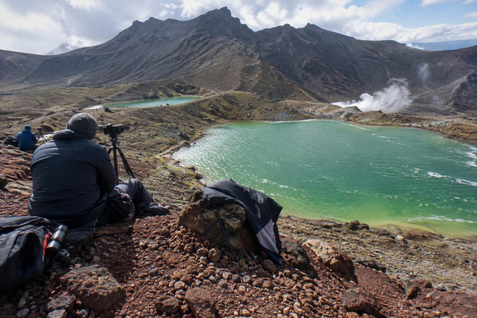
So the fair answer to the question is layered. If tough means "the hardest thing a fit first-timer can book and finish in a day", it is the Tongariro Alpine Crossing, and in winter it demands respect from anyone. If tough means "the hardest track in the country, full stop", that belongs to remote multi-day expeditions in Fiordland and the South Island backcountry, tracks that have no shuttle, no guide and no way out halfway. You can read more about the conditions themselves in the Crossing weather above the Emerald Lakes.
For most readers of this site, the relevant question is the first one. The Crossing is the walk you are actually planning, it is tough enough that DOC tells you to train for it, and there is a whole support industry, guides and shuttles, built around getting ordinary people through it safely.
How Hard Is The Tongariro Alpine Crossing Compared With Other Famous NZ Walks?
DOC grades the Crossing High for fitness and intermediate for track standard in summer, which places it well above the Great Walks such as the Routeburn or the Abel Tasman track, but below Expert winter routes. The gap is terrain and exposure rather than distance: 20.2 km with 1196 metres of climbing and descending over active volcanic ground, above the bushline for most of the day.
New Zealand's nine Great Walks are the famous ones, and most of them are, deliberately, not extreme. The Abel Tasman Coast Track is a beach walk with tidal crossings. The Routeburn and Milford tracks have serious weather but formed paths, huts and bridges. Even the Tongariro Northern Circuit, which shares some ground with the Crossing, is built as an overnight loop rather than a single punishing day. These tracks earn their reputation through scenery and remoteness, not through the physical pounding of a single day.
The Crossing is different because it compresses everything into roughly eight hours. You gain and lose more than a thousand metres. You cross the South Crater, climb the ridge to Red Crater at 1886 metres, descend the scree to the Emerald Lakes and cross Central Crater before the long drop toward Ketetahi Road. There is no hut to stop at overnight, no shortcut out, and for long stretches no water and no cover. DOC's own guidance on the track is blunt about fitness, and the winter regrading to Expert, with the note that alpine skills are essential and it is best to go with a guide, tells you what the department thinks of the off-season version.
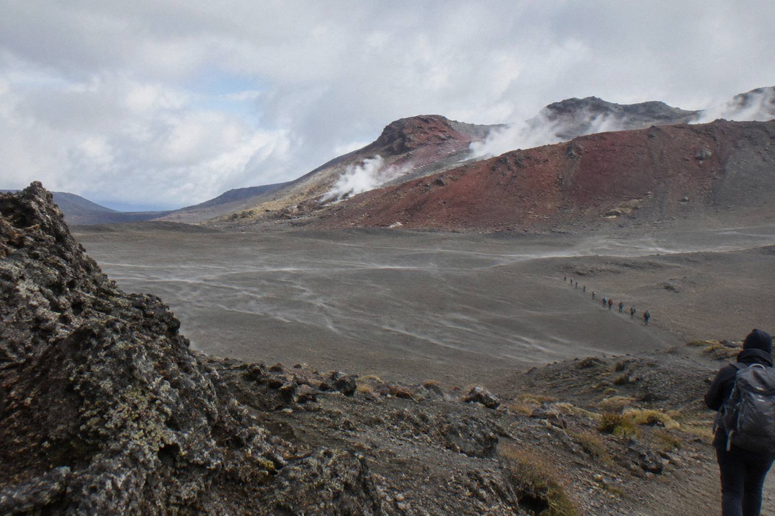
A useful comparison comes from the elevation profile alone. Most of the famous walks spread their climbing across two or three days. The Crossing hands you the Devil's Staircase, a steep stepped climb, then the ridge to Red Crater, then a scree descent, all inside a few hours and all at serious altitude. Legs that felt strong at Mangatepopo frequently reconsider by the top of the staircase. The climb fitness needed for the Emerald Lakes is a real threshold, not a marketing one.
Why Does The Crossing Punch Above Its Distance?
Because the difficulty is not the 20.2 km, it is everything stacked on top of them: volcanic scree and scoria instead of benched track, sustained exposure above the bushline, an early start for most walkers, and weather that can deliver sub-zero temperatures even in the shoulder season. In winter, DOC reclasses the same track as an Expert route, citing snow, ice and avalanche risk.
Distance is the least of it. Plenty of walkers cover 20 km on a rail trail without drama. What makes this track hard is the ground underfoot and the air around you. The Devil's Staircase is a relentless stepped climb. The South Crater looks flat and easy and then the ridge to Red Crater kicks upward again on loose rock. The descent from Red Crater to the Emerald Lakes is a steep scree run that is quick on the way down and merciless on knees and ankles, especially late in the day when fatigue makes every step sloppier.
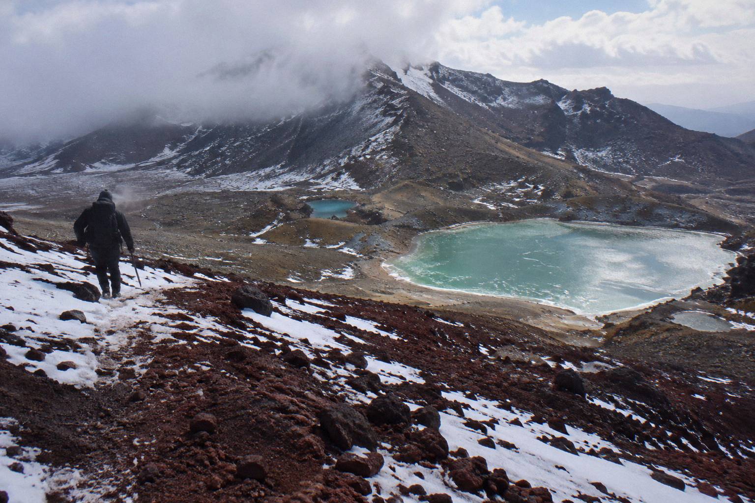
Exposure is the second factor. Most of the track sits above the bushline with no trees and no shelter. Wind on the ridge between South Crater and Red Crater can stop a walker in place. DOC and the guided operators run only when the advisory and the forecast allow, and that is not caution for its own sake: the volcanic risk is real and managed, and the volcanic risk guidance from DOC explains how the department frames it. Alert levels change daily, and the conditions that close the track are structural: hazardous weather warnings simply stop the operators from running.
The third factor is the day itself. Most walkers begin with an early start to beat afternoon weather, which means climbing the staircase on cold legs. There is no way out in the middle: once you are past the Mangatepopo end and up the valley, finishing means finishing. That psychological weight, six or more hours from the nearest road whichever direction you choose, is part of why the track has the reputation it does.
Is The Winter Crossing The Real Toughest Hike In New Zealand?
In winter, the Tongariro Alpine Crossing makes a strong claim to being the toughest guided day walk in the country. DOC regrades it to Expert from May to October, citing snow, ice, avalanche risk and sub-zero temperatures, and states plainly that alpine skills are essential and it is best to go with a guide. The same 20.2 km becomes a route of crampons, ice axes and judgement calls.
Summer walkers would not recognise the winter version. The scree slopes hold snow and ice. The descent to the Emerald Lakes, loose in January, becomes a controlled slide in July without the right gear. Daylight shrinks to between 9 and 11 hours, which tightens the whole day and removes the margin for slow sections. DOC's winter essentials for independent trips list crampons, ice axe, helmet, avalanche equipment and the competency to use all of it.
This is exactly where the guided option stops being a luxury. Adrift Tongariro runs the three guided tours on the Crossing, including the Adrift Tongariro premium guided hike, from NZ$450 per person, with free cancellation up to 14 days before and crampons and ice axes supplied for winter conditions if required, plus a clothing and footwear allowance. Bring your own lunch; it is not included. If winter is your window, the winter snow at the Emerald Lakes guide covers what changes month by month.
Do You Need A Guide For The Toughest Day Walk?
In summer, no, and most people walk independently with a shuttle; in winter, DOC's own wording says it is best to go with a guide, and the guided tours are the only bookings that include a guide, transport from the base at 53 Carroll Street in National Park Village, and winter gear if required. A shuttle is never guided: it moves you between road ends, and the walk itself is your own.
The distinction matters because it is the most common confusion in Crossing bookings. Shuttles, whether the Ruapehu Scenic Shuttles Ketetahi park-and-ride from NZ$68 per person with free cancellation up to 24 hours before, or the Tongariro Crossing Shuttles round trip from National Park Village from NZ$75 per person, rated 4.7 across 890 reviews, are transport. They get you to the Mangatepopo start and back from the Ketetahi finish. Nothing more. The walk is self-guided and you carry everything you need.
Guided tours are a different product. The Adrift Tongariro premium guided hike, rated 4.6 across 242 reviews, runs 8 to 9 hours as a booked day from National Park Village, with pickups from Taupo, Turangi and Whakapapa available at a surcharge on private trips. The Adrift Tongariro full-day guided Crossing, its sibling, is rated 4.7 across 278 reviews. Both reach the Emerald Lakes with a guide who reads the weather, sets the pace and carries the group's judgement calls. There is also the Adrift Tongariro private guided Crossing, rated 4.5 across 30 reviews, for walkers who want the day to themselves. Neither of those two prints a price; the booking page shows it.
For a full comparison of what a guide actually adds on the hard sections, the is a guide worth it for the Emerald Lakes guide goes section by section. The short version: in summer a guide is comfort and interpretation, in winter a guide is close to the difference between a good day and a rescue.
How Do You Take On The Toughest Day Walk Without A Car?
You book a shuttle or a guided tour, because from Labour weekend in late October to 30 April, parking at the road ends is restricted to a 4 hour maximum and DOC suggests booking a shuttle; there is no parking for Crossing walkers at Mangatepopo car park in summer. The support network is genuinely good: six departure points, and shuttles from National Park Village, Ketetahi, Taupo, Turangi and Ohakune.
The parking rule settles the question for most people. A 4 hour maximum at the road ends does not fit a 7 to 8 hour walk, so the walk and the shuttle are effectively one product in the peak season. The classic pattern is the park-and-ride from the Ketetahi side: you park at the Ketetahi car park, ride the one-way shuttle to Mangatepopo, and walk the Crossing back to your own car. The Ruapehu Scenic Shuttles Ketetahi park-and-ride, rated 4.8 across 670 reviews and from NZ$68 per person, works exactly that way, as does the Owhango Adventures Ketetahi park-and-ride, rated 4.8 across 333 reviews, both with free cancellation up to 24 hours before.
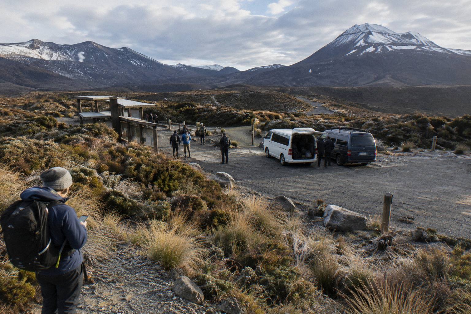
Coming from Taupo or Turangi, the Tongariro Expeditions Crossing shuttle from Taupo or Turangi, rated 4.7 across 431 reviews and from NZ$75 per person with free cancellation up to 24 hours before, covers the transfer. From National Park Village itself, the Tongariro Crossing Shuttles round trip and the Dempsey Buses return bus, the latter rated 4.8 across 72 reviews and from NZ$90 per person, both run return shuttles. DOC notes that shuttle buses generally do not operate in winter, May to late October, while guided trips include transport, which is one more reason winter walkers end up with a guide. The shuttle options for an Emerald Lakes day explain each pattern in detail, and the DOC page on the Tongariro Alpine Crossing carries the current track status.
| Tour | Operator | Type | Departure | Rating |
|---|---|---|---|---|
| Premium guided hike | Adrift Tongariro | Guided, full Crossing | National Park Village | 4.6 from 242 reviews |
| Full-day guided Crossing | Adrift Tongariro | Guided, full Crossing | National Park Village | 4.7 from 278 reviews |
| Ketetahi park-and-ride | Ruapehu Scenic Shuttles | One-way shuttle, self-guided | Ketetahi car park | 4.8 from 670 reviews |
| Round trip from National Park Village | Tongariro Crossing Shuttles | Return shuttle, self-guided | National Park Village | 4.7 from 890 reviews |
| Shuttle from Taupo or Turangi | Tongariro Expeditions | Shuttle with transfers | Taupo, Turangi or Ketetahi | 4.7 from 431 reviews |
What Trips People Up On The Toughest Day?
Four things, in rough order: underestimating the descent, starting too late, wearing the wrong shoes, and treating the lakes as a swim spot. The Emerald Lakes descent is the injury point, afternoon weather closes more days than morning weather, and DOC passes on a request from Ngati Hikairo ki Tongariro not to touch or enter any of the waterways, including the alpine lakes.
The descent is where the track collects its casualties. Climbers feel the staircase in their lungs, but the scree from Red Crater down to the Emerald Lakes and the long knee-crushing descent to Ketetahi Road hurt more people. Poles help. So does leaving something in the tank rather than sprinting the crater flats.
Timing matters because the weather window usually sits in the morning, and the best start time for the Crossing is early by any standard. Footwear matters because scoria chews through soft soles, and the question of whether you need boots has a short answer for this track in particular.
The lakes question is cultural rather than safety, but it trips up just as many people. Kaumatua Te Ngaehe Wanikau asks visitors to respect the maunga tapu by not touching or entering any of the waterways including the alpine lakes. That request is printed by DOC on the track page, it applies to the Emerald Lakes, and it costs nothing to honour. There is more detail in the swimming and tapu at the Emerald Lakes guide.
Finally, a word on the meta-question. Some readers asking what the toughest hike in New Zealand is are really asking whether they are tough enough for the Crossing. The honest reply: the Crossing rewards preparation over bravery. Train on hills, book the shuttle early in the peak season, take the weather advisory seriously, and the hardest day walk in the country becomes the best one. This site, Tongariro Emerald Lakes Hike, exists for exactly that day.
Common Questions About The Toughest Hike In New Zealand
What Is The Toughest Hike In New Zealand?
For a day walk, the Tongariro Alpine Crossing: 20.2 km one way, plus and minus 1196 metres, a High fitness grading and an Expert regrade from May to October. For multi-day routes, remote Fiordland tracks such as the Dusky Track are harder still, but they are expeditions, not bookable day trips.
Is The Tongariro Alpine Crossing The Hardest Day Walk?
It is the hardest day walk most travellers can book in New Zealand. DOC grades it High for fitness, lists 7 to 8 hours of walking from November to April and 9 hours from May to October, and classes the winter version as an Expert route.
Can A Beginner Do The Tongariro Crossing?
A fit beginner with hill training can do it in summer. The fitness guide for the Emerald Lakes climb sets out what to prepare. In winter, beginners should go with a guide, which DOC itself recommends for that season.
What Is The Hardest Section Of The Crossing?
Two candidates: the Devil's Staircase on the way up, and the steep scree descent from Red Crater at 1886 metres to the Emerald Lakes on the way down. The descent injures more walkers; the staircase empties more lungs.
Is The Crossing Harder In Winter?
Yes, categorically. From May to October DOC classes it as an Expert route with snow, ice, avalanche risk and sub-zero temperatures, states that alpine skills are essential, and says it is best to go with a guide. Winter daylight is 9 to 11 hours.
Do You Need A Shuttle For The Crossing?
In the peak season, effectively yes. From Labour weekend in late October to 30 April, parking at the road ends is limited to a 4 hour maximum, and DOC suggests booking a shuttle. Shuttles generally do not run in winter, while guided trips include transport.