How Much Time Do You Need At The Emerald Lakes On The Crossing?
How long to plan for the Emerald Lakes on the Tongariro Alpine Crossing: pacing advice, the DOC day bands, and how to time the whole 20.2 km day.
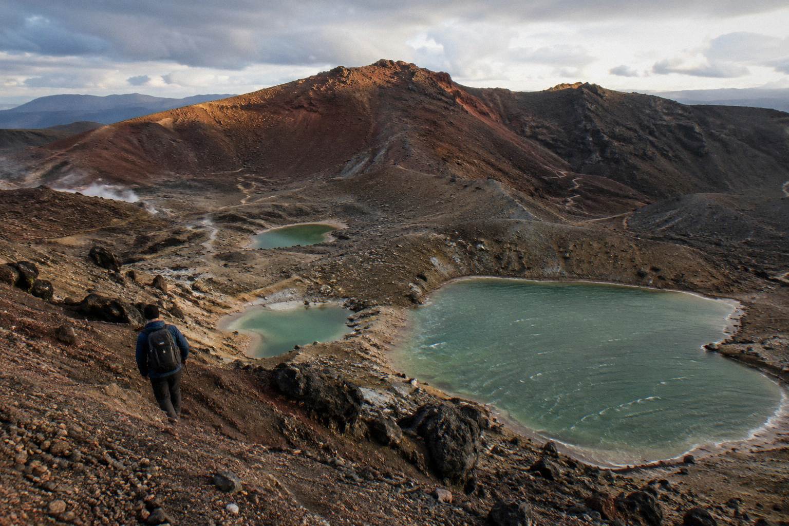
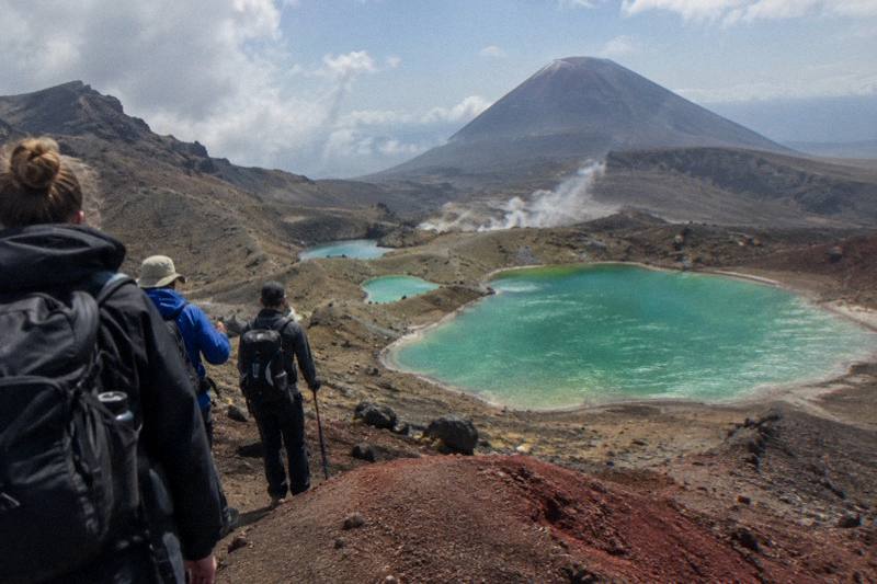
The Emerald Lakes, Nga Rotopounamu, sit roughly two thirds of the way along the Tongariro Alpine Crossing, arrived at at the bottom of a steep scree descent from Red Crater at 1886 metres. That position is what makes the time question matter: the lakes are not a short stroll from a car park, they are the reward section of a 20.2 km one-way alpine day with 1196 metres of elevation change, classed by the Department of Conservation as requiring high fitness. Nobody publishes an official "stop here for X minutes" figure, and this page will not invent one. What follows is pacing advice built on the DOC walking bands, the shape of the track, and the transport products that frame the day.
There is no verified stop-time at the Emerald Lakes, so plan by feel within your day's budget: most walkers make the lakes their longest rest of the day, long enough to eat, layer up for the descent, and take photographs. Fit that break inside the DOC-banded day of 7 to 8 hours from November to April, or 9 hours from May to October, across the 20.2 km crossing.
The reason no clean number exists is that the lakes are a place on a track, not a ticketed attraction. You arrive when your legs and the Devil's Staircase agree, you leave when you are ready for the Ketetahi descent. What can be planned is everything around the stop: when you start, how the 20.2 km divides up, and what time your transport expects you at the far end. The Department of Conservation's track page, which is the source for every distance and time figure on this page, describes the descent to "the vivid Nga Rotopounamu-Emerald Lakes" as steep scree, and that descent is where most of the lakes stop time actually goes.
Think of the day in three blocks. The climb from Mangatepopo up the Devil's Staircase to the South Crater and Red Crater is the slow block. The Emerald Lakes basin, the Central Crater and the Blue Lake are the scenery block, where walkers naturally slow down, and where most people spend the largest share of their non-walking time. The long Ketetahi descent, past the Te Maari eruption scars and down to the road end, is the endurance block. If you budget your energy and your clock that way, the lakes stop becomes whatever the weather and the crowd allow, usually the easiest decision of the day.
Transport is the other half of the answer. A shuttle day is a framed day: the Tongariro Crossing Shuttles round trip from National Park Village, the most reviewed tour here at 4.7 across 890 reviews, runs from NZ$75 per person and gives the whole outing a roughly 8 hour shape, with the walking itself inside that. The Ruapehu Scenic Shuttles Ketetahi park-and-ride, from NZ$68 and rated 4.8 across 670 reviews, frames the same day from the other end, and the Adrift Tongariro premium guided hike, from NZ$450 and rated 4.6 across 242 reviews, buys a guide whose pacing decisions at the lakes are made for you. Whichever frame you choose, the stop itself flexes.
If you want the deeper background on the whole day, see how long it takes to walk the full Crossing; for the geology and the colour, see why the Emerald Lakes colours look the way they do.
Where Do The Lakes Sit Inside The Full Crossing Day?
The Emerald Lakes sit roughly two thirds of the way along the 20.2 km track, immediately below Red Crater, the 1886 metre high point. By the time you reach them you have completed the hardest climbing of the day; ahead of you lie the Central Crater, the Blue Lake and the long Ketetahi descent. The lakes are, in timing terms, the hinge of the whole walk.
Getting to that hinge takes most walkers the larger part of their morning. The track starts at Mangatepopo at about 1120 metres, runs up the valley to the Soda Springs, then climbs the Devil's Staircase to the South Crater. From there the trail rises again across broken volcanic ground to the rim of Red Crater. That is the 1886 metre summit of the walk, and DOC's high-fitness rating lives mostly in this section. On a busy summer day this whole approach can take a walker in average condition well over half of their total walking time, which is worth knowing before you promise anyone a lunchtime arrival at the lakes.
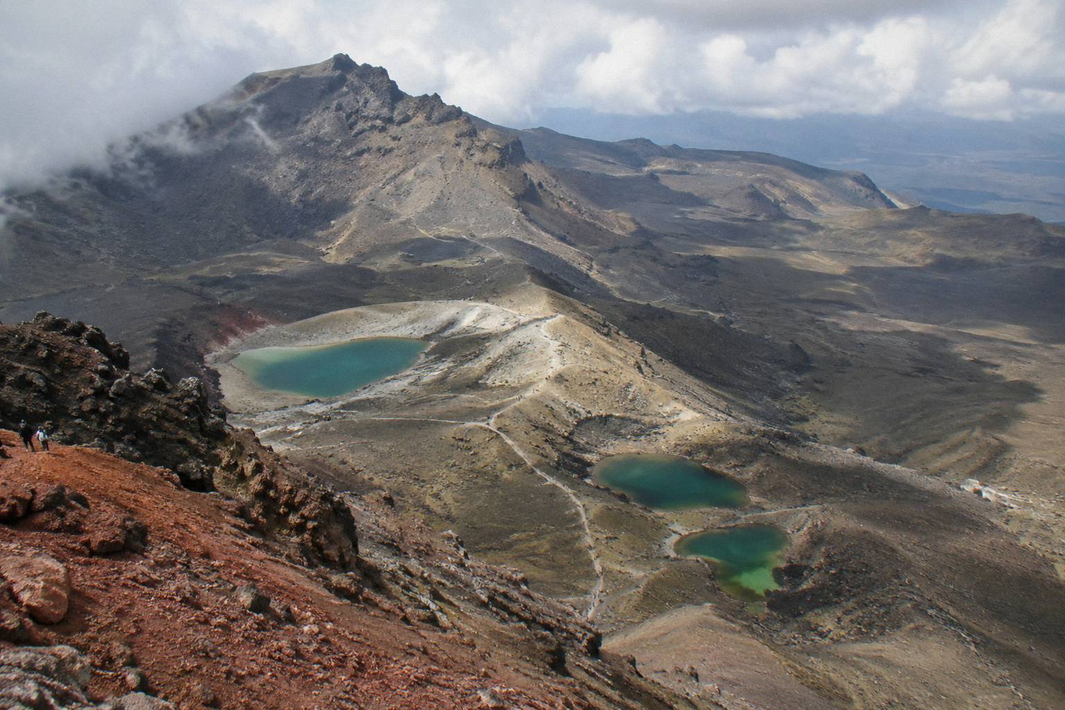
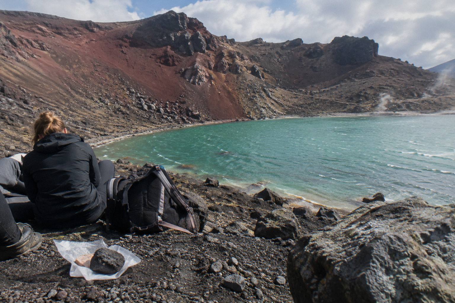
The descent from Red Crater to the lakes is short in distance and slow in practice. It is steep scree, and in dry summer conditions it moves underfoot. Walkers pick their way down in single file, and the natural thing to do at the bottom is exactly what most people do: stop. The basin holds the three lakes, a sheltered spot out of the ridge wind, and the first reliable place since the South Crater to sit down. If you have been eating on the move, this is where the proper food stop happens.
| Section of the day | Distance character | What it means for your timing |
|---|---|---|
| Mangatepopo to South Crater | Gentle valley, then the Devil's Staircase climb | Slowest walking per kilometre; do not bank on early pace |
| South Crater to Red Crater rim | Gradual climb on volcanic rock | Steady; the 1886 m high point sits at the top |
| Red Crater to the Emerald Lakes | Steep scree descent, short | Slow going down; the lakes stop follows naturally |
| Emerald Lakes to Blue Lake | Central Crater crossing, gentle | Fast walking; easy to make up time here |
| Blue Lake to Ketetahi Road | Long descent past Te Maari | Hard on knees; the last kilometres feel longest |
The table above is planning geometry, not a timetable. The honest version of pacing advice is that your Emerald Lakes stop length is whatever the day has left you after the climb. On a fast day in good weather the stop can sprawl; on a slow day into wind it shrinks to a snack, and DOC's suggested alternative walks, Taranaki Falls and Tama Lakes, are the fallback if the forecast kills the alpine section altogether.
Should You Book A Guided Day Or Time The Lakes Yourself?
A guided day hands the pacing decisions to someone who reads the mountain; a shuttle day leaves the pacing to you but still frames the clock. Adrift Tongariro runs the three guided tours available here, and on a guided day the guide sets how long the group lingers at the lakes. Independent walkers on shuttles make that call themselves, inside the shuttle's day frame.
The guided option is the Adrift Tongariro premium guided hike, from NZ$450 per person, rated 4.6 across 242 reviews, with free cancellation up to 14 days before and departures from National Park Village at 53 Carroll Street. Its booked duration is 8 to 9 hours, which is the total day, not walking time. There is also the Adrift Tongariro private guided Crossing, rated 4.5 across 30 reviews, where a private guide can pace the day around your photography, and the Adrift Tongariro full-day guided Crossing, rated 4.7 across 278 reviews. On all three the group's stop at the lakes is set by the guide against the weather and the group's speed, and crampons and ice axes are supplied if winter conditions require them. Bring your own lunch.
The self-timed option is the shuttle, and it is the more common choice. The Tongariro Crossing Shuttles round trip from National Park Village, from NZ$75 and rated 4.7 across 890 reviews, is the most reviewed tour here; the Dempsey Buses return bus from the same village runs from NZ$90, rated 4.8 across 72 reviews; and the Tongariro Expeditions Crossing shuttle from Taupo or Turangi runs from NZ$75, rated 4.7 across 431 reviews, with a booked day of 8 to 10 hours. None of these is guided: a shuttle is transport, and the walk, and therefore the lakes stop, is yours to pace.
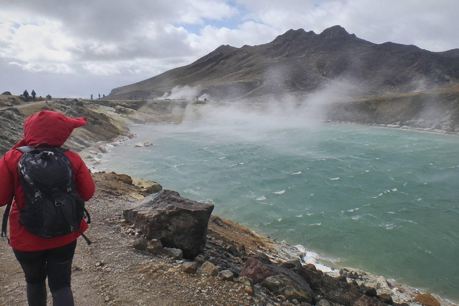
Which frame suits you depends on what the lakes stop means to you. If the stop is the point of the day, a long sit, photographs, the works, a guided day protects it, because the guide absorbs the schedule pressure and the group moves when the group is ready. If the stop is one highlight among several and you walk at a known pace, a shuttle day is cheaper and just as workable. The premium guided comparison is worth reading in full at whether a guide is worth it for the Emerald Lakes section.
How Does The Season Change The Time Budget?
DOC bands the full walk at 7 to 8 hours from November to April and 9 hours from May to October, and the difference lands squarely on the lakes stop. In the summer season the stop is usually generous; in the May to October window the track becomes an expert route where snow, ice and avalanche risk shorten every pause, and DOC says alpine skills are essential and it is best to go with a guide.
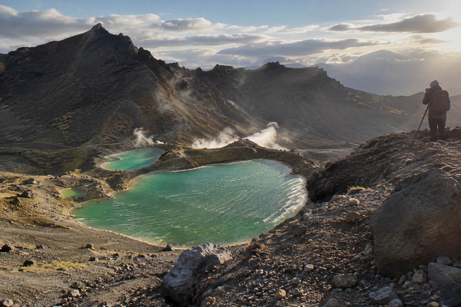
Winter is a different walk, not a slower version of the same one. DOC's own winter essentials for independent trips list crampons, an ice axe, a helmet, competency with both, and avalanche gear, and winter daylight runs 9 to 11 hours. On a guided Adrift winter day the equipment comes with the tour; independent winter walkers need to carry and know how to use their own. Either way, the Emerald Lakes basin in snow is a shorter stop: it is exposed, cold, and in a winter day budget there is less slack than the summer band suggests. The full index of guides sits on Tongariro Emerald Lakes Hike.
Summer brings the opposite pressure, crowds. On a peak January day the scree descent can resemble a queue, and the sheltered spots around the lakes fill early. The practical effect on time is that the stop stretches, not shrinks: you wait to descend, you wait for a photograph angle, you wait at the Ketetahi trailhead for the shuttle. Building the day around DOC's 7 to 8 hour summer band, rather than around hopeful shorter estimates, is the single best piece of pacing advice for the stop. The seasonal detail, including the parking restrictions that make shuttle booking the default from Labour weekend in late October to 30 April, is laid out in the best month to hike to the Emerald Lakes.
| Season window | DOC full-walk band | What it does to the lakes stop |
|---|---|---|
| November to April | 7 to 8 hours | Longest natural stop; crowds stretch waits on the scree |
| May to October | 9 hours | Expert route; short, sheltered stops; guide recommended by DOC |
One more seasonal fact worth folding in: from Labour weekend in late October to 30 April, a 4 hour maximum applies to parking at the road ends, and DOC suggests booking a shuttle, which for most walkers settles the start-and-finish logistics in favour of a shuttle product anyway. DOC's Crossing page states the restriction plainly, and the free DOC booking system, which is recommended and needed for shuttle and guided days, is the other piece of paperwork.
What Actually Determines How Long You Stay?
Three things set the length of the stop, and none of them is a timetable: the crowd on the scree, the weather on the ridge, and the state of your legs after the Staircase. Food and photography extend it; cold wind and a late start shorten it. The only hard edges are your transport's day frame and the daylight.
Crowd first. The scree descent funnels walkers into the same few lines, and on a busy summer day the lakes basin is the congestion point of the whole Crossing. If you started with the early crowd, you arrive with the early crowd, and the best sitting spots go first. Walkers who start later often find a quieter basin but pay for it with less slack at the far end of the day. That trade is really what the start-time decision is about, and it is covered properly in a sunrise start on the Crossing for the Emerald Lakes.
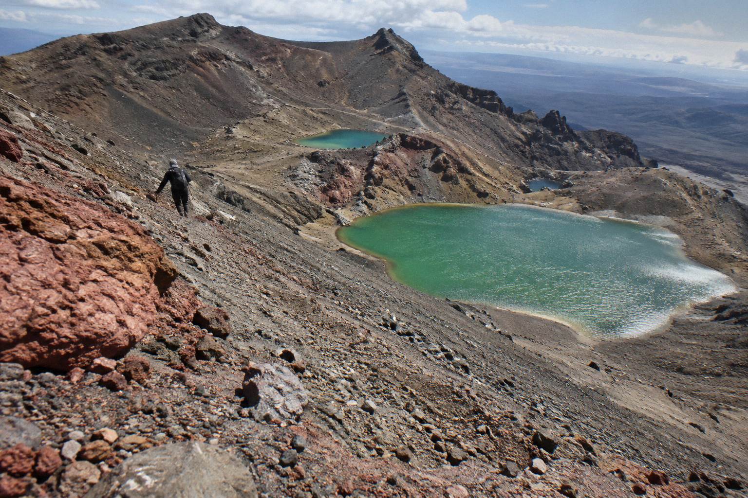
Weather second. The lakes sit below the Red Crater rim but the basin is open to the alpine weather that DOC and NIWA both flag as the Crossing's defining risk. In wind the stop becomes a crouch behind a rock; in still conditions the same spot invites a half hour. DOC's advice, that the track should only be walked when conditions and the forecast allow, and that operators run only on days the advisory permits, conditions allowing, is the governing rule, and the framework behind it is explained in Crossing weather above the Emerald Lakes.
Legs third. The Devil's Staircase and the Red Crater climb take more out of most walkers than the distance suggests, and the lakes basin is where that bill arrives. Plenty of independent walkers plan a long stop and take a short one, purely because sitting down reveals how tired they are. Guided groups spread their stops more evenly, which is one quiet argument for the Adrift premium day: the guide's pacing spreads food and clothing stops across the whole climb instead of banking them all for the basin.
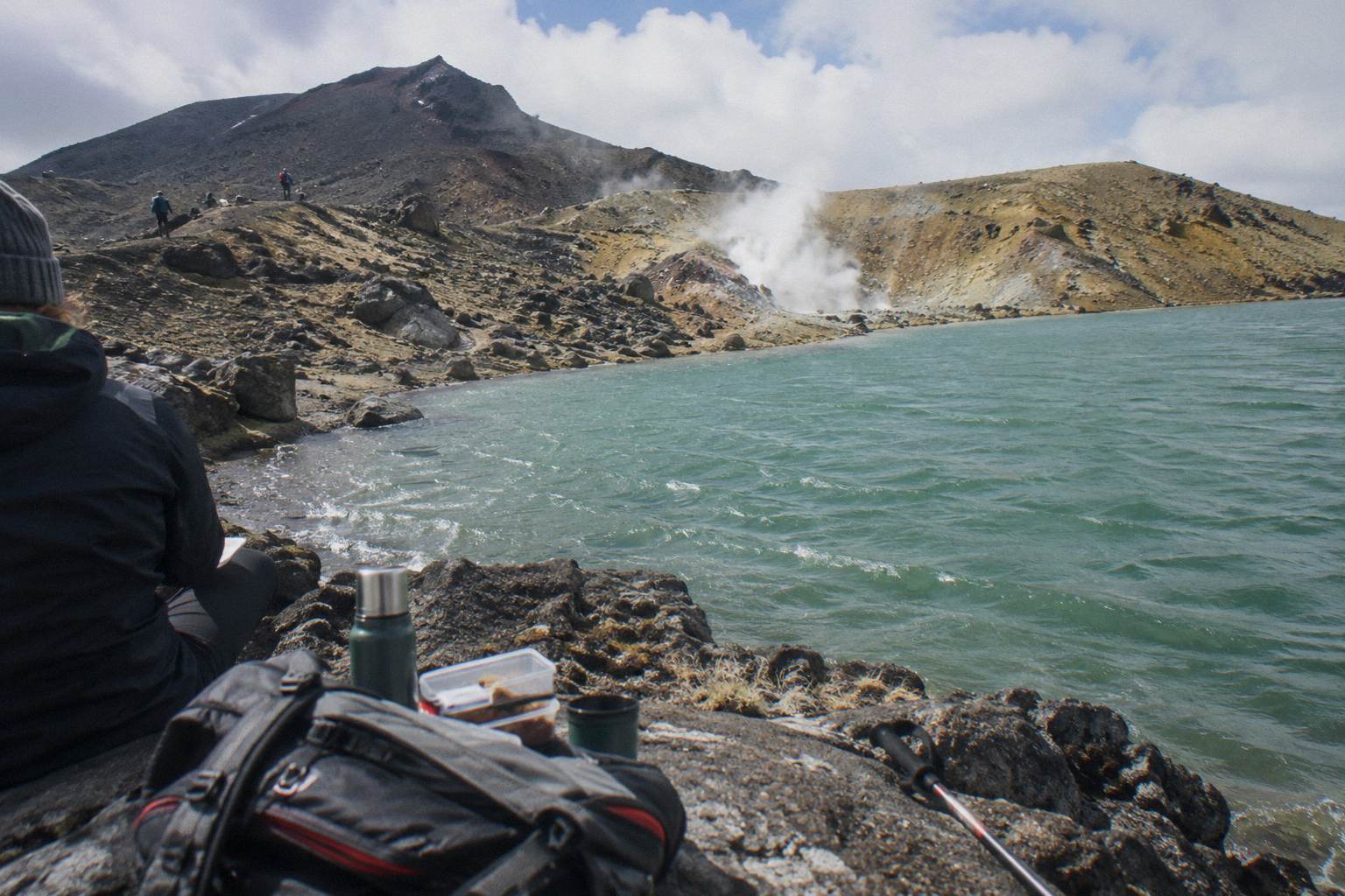
One cultural note belongs here because it shapes behaviour at the lakes themselves. Visitors are asked not to touch or enter any of the waterways, including the alpine lakes, a request made to respect the maunga tapu, the sacred mountains of Ngati Hikairo ki Tongariro of Ngati Tuwharetoa. So the stop is a looking and lunch stop, never a swimming stop, and the reasons behind that are spelled out in swimming in the Emerald Lakes and tapu.
What Trips People Up When Planning The Stop?
The classic mistakes are all clock mistakes: budgeting the day from the walking band alone and forgetting the shuttle frame, planning a long lakes stop on a late start, and treating the ketetahi descent as quick because it is downhill. The descent is long, hard on knees, and the section where late days go wrong.
The first mistake is arithmetic. A 7 to 8 hour DOC band plus a generous lakes stop plus the shuttle's own day length do not automatically fit inside each other, because the band already includes your stops. Walkers who add an hour of planned lake time on top of the band discover, on the Ketetihi descent, that the day was full before they added anything. Budget the stop inside the band, not on top of it.
The second is underestimating the last third. From the Blue Lake the track drops and keeps dropping, past the Te Maari eruption scars from 2012 and out through tussock to the Ketetahi Road end at about 760 metres. It is the least spectacular third of the walk and the one where tired walkers slow the most. If your planning divides the day evenly by distance, the stop at the lakes feels affordable and the final hours feel stolen. Plan a slower second half and the stop takes care of itself.
The third is ignoring the waterways request. The lakes look like swimming holes, mineral green and inviting on a warm day, and they are not. The request from kaumatua Te Ngaehe Wanikau, printed by DOC, asks visitors to respect the maunga tapu by not touching or entering any of the waterways including the alpine lakes. Treating the stop as a picnic and photography stop from the outset avoids the awkward version of learning this on the day. For photographers, timing advice specific to the light on the water is in photographing the Emerald Lakes on the Crossing.
How Does Transport Set The Clock Around The Stop?
Your booking frames the day more tightly than the track does. Round-trip shuttles from National Park Village run roughly 8 hour days; the Taupo and Turangi options stretch the booked day to 8 to 10 hours; and the Ketetahi park-and-ride products hang the day on your own car at the far end. The lakes stop is always flexible, the transport never is.
The frames differ more than people expect. The Tongariro Crossing Shuttles round trip from National Park Village, from NZ$75, rated 4.7 across 890 reviews and free to cancel up to 24 hours before, departs the Park n Ride at 59 Findlay Street and gives the day its shape. The Dempsey Buses return shuttle from Ohakune covers a full day too. The Tongariro Expeditions Taupo return shuttle runs about a 10 hour booked day, the longest frame among the shuttles, which suits walkers who want the biggest possible buffer for a long lakes stop and a slow descent.
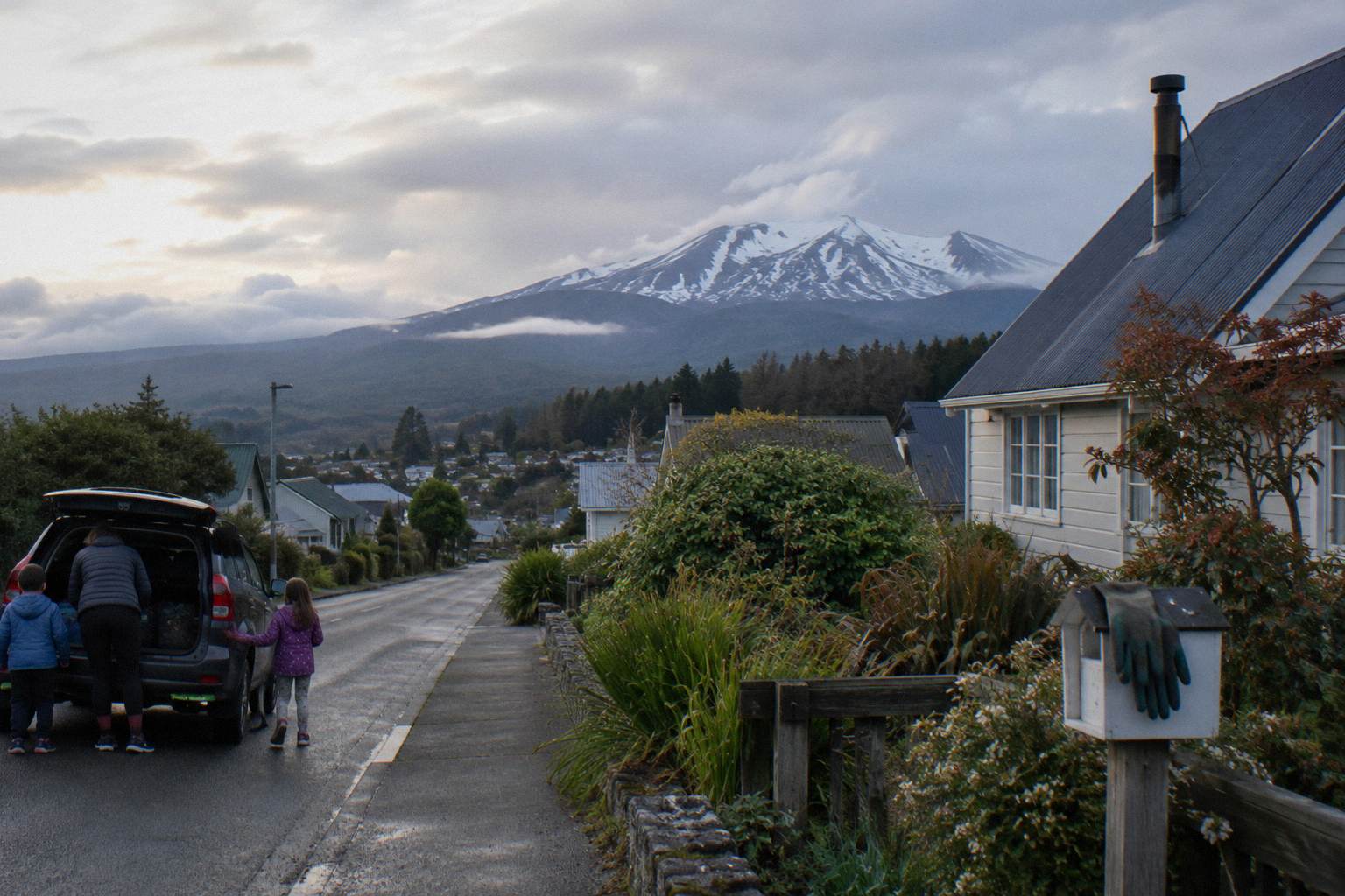
The park-and-ride products flip the logic. With the Ruapehu Scenic Shuttles Ketetahi park-and-ride, from NZ$68 and rated 4.8 across 670 reviews, or the Tongariro Expeditions Ketetahi park-and-ride, rated 4.3 across 106 reviews, you park at the Ketetahi end, ride to Mangatepopo, and the day ends at your own car, so the only clock is daylight and your own legs. That is the most generous frame for an unhurried lakes stop, and the trade-offs are set out in the Ketetahi finish after the Emerald Lakes. DOC notes that shuttle buses generally do not operate in winter, May to late October, while guided trips include transport, which in the winter window pushes the decision toward the guided Adrift days.
Booking itself runs through the free DOC system for the Crossing, which is recommended and needed for shuttle and guided days, and the operator pages carry the seasonal schedules. The DOC booking system page explains the process, and the DOC Crossing track page is the authority for every figure used here.
Common Questions About Time At The Emerald Lakes
How Much Time Do You Need At The Emerald Lakes On The Crossing?
There is no official stop-time figure. Plan the lakes as your longest rest of the day, a food, clothing and photography stop, inside DOC's full-day band of 7 to 8 hours November to April or 9 hours May to October, rather than as a separate block of time added on top.
Can You Swim In The Emerald Lakes During The Stop?
No. Visitors are asked not to touch or enter any of the waterways, including the alpine lakes, a request to respect the maunga tapu, the sacred mountains. The stop is for looking, eating and photographs.
Does A Guided Tour Give You Longer At The Lakes?
It gives you a guide who sets the pacing. On the Adrift Tongariro guided tours the group's stop length is decided against the weather, the season and the group's speed, which on most days produces a steadier, better protected stop than an independent walker managing their own clock.
How Far Into The Walk Are The Lakes?
Roughly two thirds of the 20.2 km track, immediately below Red Crater, the 1886 metre high point. By the lakes you have finished the hardest climbing; ahead are the Central Crater, the Blue Lake and the long Ketetahi descent.
Why Does The Season Change The Walking Time?
DOC bands the walk at 7 to 8 hours from November to April and 9 hours from May to October. In the colder window the track is an expert route with snow, ice and avalanche risk, daylight runs 9 to 11 hours, and DOC recommends going with a guide.
Do You Have To Book Transport To Reach The Lakes?
From Labour weekend in late October to 30 April, parking at the road ends is limited to 4 hours and DOC suggests booking a shuttle, so most walkers do. The DOC booking system is free, recommended, and needed for shuttle and guided days.